Le Morne-Rouge night lights from space
Night Light of Le Morne-Rouge (Martinique) from space (Martinique) Src. Average luminocity for 10x10km area is 13.7583% and for 50x50km: 14.2878%.
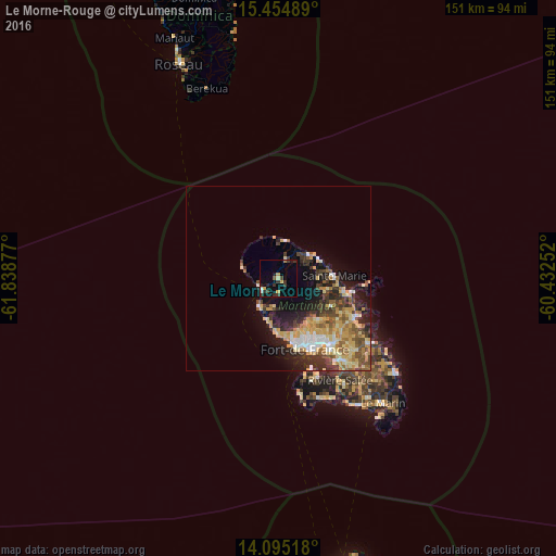
Analysis of Le Morne-Rouge night lights 2016
Square area 10x10 km:
 1.24%
1.24%90-99
0.62%80-89
0.62%70-79
3.31%60-69
0.83%50-59
0.62%40-49
1.03%30-39
7.64%20-29
2.69%10-19
5.99%0-9
75.41%Square area 50x50 km:
1.39%90-99
1.6%80-89
3.22%70-79
2.92%60-69
1.68%50-59
1.65%40-49
2.12%30-39
3.03%20-29
3.53%10-19
6.23%0-9
72.62%Clear (daylight) street map image can be seen on geolist.org.
Map coordinates:
15° 27' 17.6" North, 61° 50' 19.6" West
14° 46' 34" North, 61° 8' 8.3" West
14° 5' 42.6" North, 60° 25' 57.1" West
Some cities around Le Morne-Rouge sort by population:
• Fort-de-France
20.3 km =12.6 mi,  160°
160°
• Le Lamentin
23.3 km =14.5 mi,  141°
141°
• Le Robert
23.5 km =14.6 mi,  117°
117°
• Sainte-Marie
15.4 km =9.6 mi,  86°
86°
• Saint-Joseph
15.6 km =9.7 mi, 138°
• La Trinité
19 km =11.8 mi,  102°
102°
• Le Gros-Morne
16.9 km =10.5 mi, 120°
• Le Lorrain
10.7 km =6.6 mi,  53°
53°
3570423 (p: 5,469)
Sources (retrieved 2019-11-25):
» Earth at Night: Flat Maps 2012, 2016