Le Lorrain night lights from space
Night Light of Le Lorrain (Martinique) from space (Martinique) Src. Average luminocity for 10x10km area is 14.8781% and for 50x50km: 11.3085%.
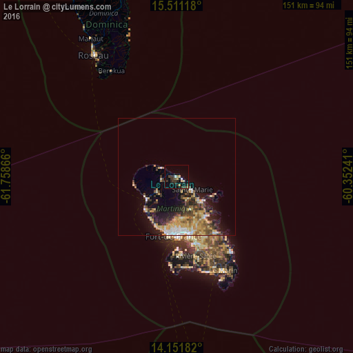
Analysis of Le Lorrain night lights 2016
Square area 10x10 km:
 0.41%
0.41%90-99
1.65%80-89
1.24%70-79
2.48%60-69
0%50-59
2.07%40-49
2.07%30-39
8.26%20-29
4.34%10-19
9.92%0-9
67.56%Square area 50x50 km:
1.15%90-99
1.28%80-89
2.17%70-79
2.4%60-69
1.27%50-59
1.16%40-49
1.59%30-39
2.44%20-29
2.7%10-19
6.25%0-9
77.6%Clear (daylight) street map image can be seen on geolist.org.
Map coordinates:
15° 30' 40.2" North, 61° 45' 31.2" West
14° 49' 57.3" North, 61° 3' 19.9" West
14° 9' 6.6" North, 60° 21' 8.7" West
Some cities around Le Lorrain sort by population:
• Fort-de-France
25.5 km =15.8 mi,  184°
184°
• Le Lamentin
25.1 km =15.6 mi,  166°
166°
• Le Robert
21.1 km =13.1 mi,  144°
144°
• Sainte-Marie
8.7 km =5.4 mi,  128°
128°
• Saint-Joseph
18.1 km =11.2 mi, 174°
• La Trinité
14.5 km =9 mi, 136°
• Le Gros-Morne
15.9 km =9.9 mi,  157°
157°
• Le Morne-Rouge
10.7 km =6.6 mi,  233°
233°
3570427 (p: 8,341)
Sources (retrieved 2019-11-25):
» Earth at Night: Flat Maps 2012, 2016