Altai night lights from space
Night Light of Altai (Govĭ-Altay) from space (Mongolia) Src. Average luminocity for 10x10km area is 2.9033% and for 50x50km: 0.1169%.
Analysis of Altai night lights 2016
Square area 10x10 km:
 0%
0%90-99
0%80-89
0.74%70-79
0.45%60-69
1.19%50-59
0%40-49
0.6%30-39
1.19%20-29
0.6%10-19
0.6%0-9
94.64%Square area 50x50 km:
0%90-99
0%80-89
0.03%70-79
0.02%60-69
0.05%50-59
0%40-49
0.02%30-39
0.05%20-29
0.02%10-19
0.02%0-9
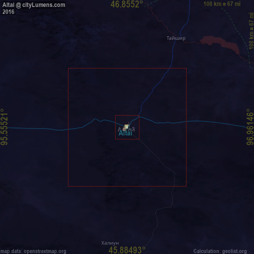
99.78%Clear (daylight) street map image can be seen on geolist.org.
Map coordinates:
46° 51' 18.7" North, 95° 33' 18.8" East
46° 22' 20" North, 96° 15' 30" East
45° 53' 5.7" North, 96° 57' 41.3" East
Some cities around Altai sort by population:
• Hami, CN
449.7 km =279.4 mi,  208°
208°
• Khovd
393.2 km =244.3 mi,  297°
297°
• Murun-kuren
464.5 km =288.6 mi,  38°
38°
• Bayanhongor
343.2 km =213.3 mi,  93°
93°
• Bayanhongor
297.5 km =184.9 mi,  82°
82°
• Uliastay
158.6 km =98.5 mi,  16°
16°
• Tosontsengel
305.6 km =189.9 mi,  29°
29°
• Tsetserleg
413.1 km =256.7 mi,  72°
72°
1516393 (p: 15,800)
Sources (retrieved 2019-11-25):
» Earth at Night: Flat Maps 2012, 2016