Uliastay night lights from space
Night Light of Uliastay (Dzabkhan) from space (Mongolia) Src. Average luminocity for 10x10km area is 1.9673% and for 50x50km: 0.0772%.
Analysis of Uliastay night lights 2016
Square area 10x10 km:
 0%
0%90-99
0%80-89
0%70-79
0.89%60-69
0.3%50-59
0.15%40-49
0.45%30-39
1.19%20-29
0.6%10-19
0.45%0-9
95.98%Square area 50x50 km:
0%90-99
0%80-89
0%70-79
0.04%60-69
0.01%50-59
0.01%40-49
0.02%30-39
0.05%20-29
0.02%10-19
0.02%0-9
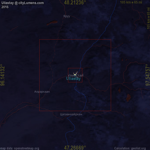
99.84%Clear (daylight) street map image can be seen on geolist.org.
Map coordinates:
48° 12' 44.5" North, 96° 8' 28.8" East
47° 44' 30" North, 96° 50' 40" East
47° 16' 0.1" North, 97° 32' 51.3" East
Some cities around Uliastay sort by population:
• Khovd
389 km =241.7 mi,  274°
274°
• Murun-kuren
321.8 km =200 mi,  49°
49°
• Bayanhongor
340.5 km =211.6 mi,  120°
120°
• Bayanhongor
272.1 km =169.1 mi,  114°
114°
• Altai
158.6 km =98.5 mi,  196°
196°
• Tosontsengel
155.2 km =96.4 mi,  43°
43°
• Tsengel
354.5 km =220.3 mi,  56°
56°
• Tsetserleg
346.8 km =215.5 mi,  94°
94°
1515007 (p: 16,240)
Sources (retrieved 2019-11-25):
» Earth at Night: Flat Maps 2012, 2016