Tosontsengel night lights from space
Night Light of Tosontsengel (Dzabkhan) from space (Mongolia) Src. Average luminocity for 10x10km area is 0.1832% and for 50x50km: 0.0073%.
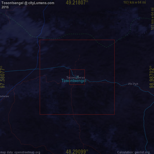
Analysis of Tosontsengel night lights 2016
Square area 10x10 km:
 0%
0%90-99
0%80-89
0%70-79
0%60-69
0%50-59
0%40-49
0%30-39
0.43%20-29
0.14%10-19
0%0-9
99.43%Square area 50x50 km:
0%90-99
0%80-89
0%70-79
0%60-69
0%50-59
0%40-49
0%30-39
0.02%20-29
0.01%10-19
0%0-9
99.98%Clear (daylight) street map image can be seen on geolist.org.
Map coordinates:
49° 13' 5.1" North, 97° 34' 50.8" East
48° 45' 24" North, 98° 17' 2" East
48° 17' 27.6" North, 98° 59' 13.3" East
Some cities around Tosontsengel sort by population:
• Murun-kuren
167.8 km =104.3 mi,  54°
54°
• Bayanhongor
338.5 km =210.3 mi,  147°
147°
• Bayanhongor
265 km =164.7 mi, 148°
• Uliastay
155.2 km =96.4 mi,  223°
223°
• Altai
305.6 km =189.9 mi,  209°
209°
• Kharkhorin
379.3 km =235.7 mi,  117°
117°
• Tsengel
205.9 km =127.9 mi,  67°
67°
• Tsetserleg
275.1 km =170.9 mi, 121°
1515167 (p: 9,526)
Sources (retrieved 2019-11-25):
» Earth at Night: Flat Maps 2012, 2016