Bayanhongor night lights from space
Night Light of Bayanhongor from space (Mongolia) Src. Average luminocity for 10x10km area is 0% and for 50x50km: 0%.

Analysis of Bayanhongor night lights 2016
Square area 10x10 km:
 0%
0%90-99
0%80-89
0%70-79
0%60-69
0%50-59
0%40-49
0%30-39
0%20-29
0%10-19
0%0-9
100%Square area 50x50 km:
0%90-99
0%80-89
0%70-79
0%60-69
0%50-59
0%40-49
0%30-39
0%20-29
0%10-19
0%0-9
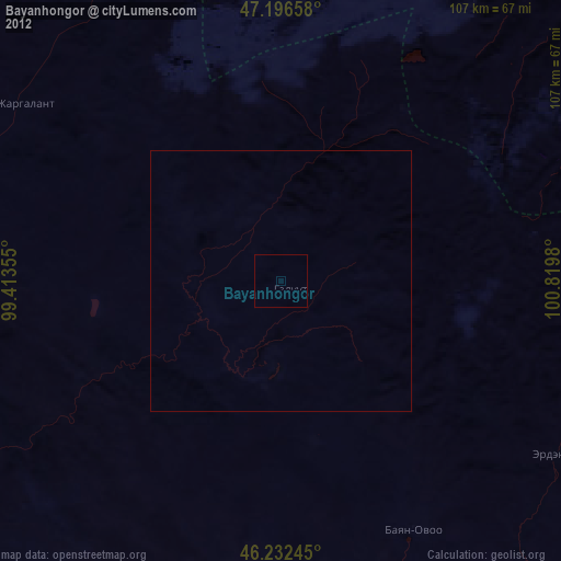
100%Clear (daylight) street map image can be seen on geolist.org.
Map coordinates:
47° 11' 47.7" North, 99° 24' 48.8" East
46° 43' 0" North, 100° 7' 0" East
46° 13' 56.8" North, 100° 49' 11.3" East
Some cities around Bayanhongor sort by population:
• Hovd
278.1 km =172.8 mi,  144°
144°
• Arvayheer
209.6 km =130.2 mi,  103°
103°
• Uliastay
272.1 km =169.1 mi,  294°
294°
• Altai
297.5 km =184.9 mi,  262°
262°
• Tosontsengel
265 km =164.7 mi,  328°
328°
• Harhorin
212.3 km =131.9 mi,  75°
75°
• Kharkhorin
211.4 km =131.4 mi, 75°
• Tsetserleg
131.8 km =81.9 mi,  50°
50°
2032532 (p: 23,234)
Sources (retrieved 2019-11-25):
» Earth at Night: Flat Maps 2012, 2016