Hami night lights from space
Night Light of Hami (Xinjiang) from space (China) Src. Average luminocity for 10x10km area is 54.3286% and for 50x50km: 3.9279%.
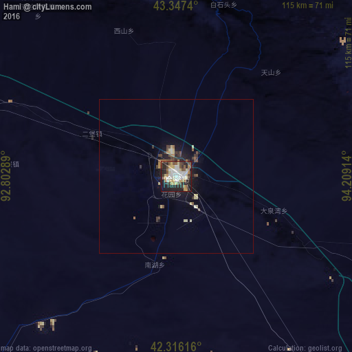
Analysis of Hami night lights 2016
Square area 10x10 km:
 10.79%
90-99
11.9%80-89
9.21%70-79
6.03%60-69
5.24%50-59
6.51%40-49
7.78%30-39
6.19%20-29
19.52%10-19
15.71%0-9
1.11%Square area 50x50 km:
0.47%90-99
0.51%80-89
0.77%70-79
0.37%60-69
0.33%50-59
0.51%40-49
0.64%30-39
0.64%20-29
1.17%10-19
2.83%0-9
91.76%Clear (daylight) street map image can be seen on geolist.org.
Map coordinates:
43° 20' 50.6" North, 92° 48' 10.4" East
42° 50' 2.1" North, 93° 30' 21.6" East
42° 18' 58.2" North, 94° 12' 32.9" East
Some cities around Hami sort by population:
• Ürümqi
489.6 km =304.2 mi,  282°
282°
• Turpan
352.7 km =219.2 mi,  272°
272°
• Changji
517.4 km =321.5 mi, 284°
• Jiayuguan
521.7 km =324.2 mi,  130°
130°
• Laojunmiao
485.5 km =301.7 mi, 133°
• Jiuquan
541.5 km =336.5 mi, 129°
• Altai, MN
449.7 km =279.4 mi,  28°
28°
• Sishilichengzi
585.1 km =363.6 mi,  260°
260°
1529484 (p: 137,072)
Sources (retrieved 2019-11-25):
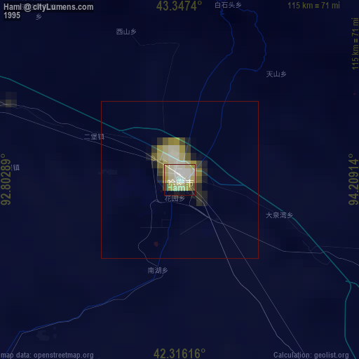
» NASA, Earths city lights 1995
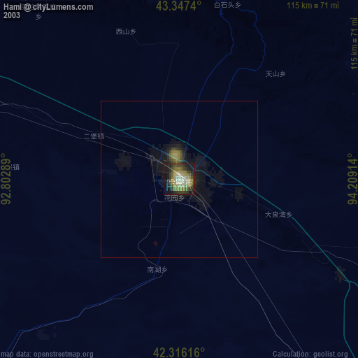
» NASA city lights 2003
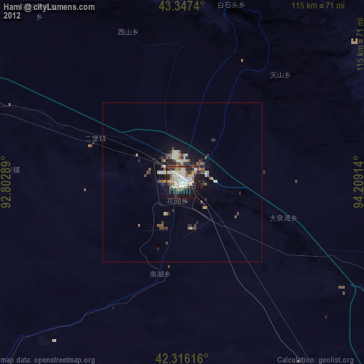
» Earth at Night: Flat Maps 2012, 2016