Khovd night lights from space
Night Light of Khovd (Hovd) from space (Mongolia) Src. Average luminocity for 10x10km area is 1.5895% and for 50x50km: 0.064%.
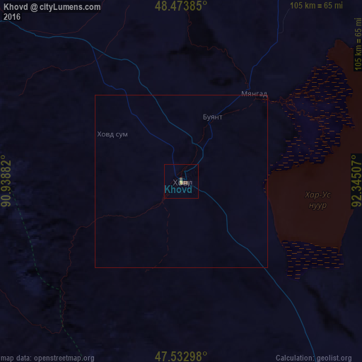
Analysis of Khovd night lights 2016
Square area 10x10 km:
 0%
0%90-99
0%80-89
0%70-79
0.57%60-69
0%50-59
0%40-49
2.13%30-39
0.14%20-29
0%10-19
0%0-9
97.16%Square area 50x50 km:
0%90-99
0%80-89
0%70-79
0.02%60-69
0%50-59
0%40-49
0.09%30-39
0.01%20-29
0%10-19
0%0-9
99.89%Clear (daylight) street map image can be seen on geolist.org.
Map coordinates:
48° 28' 25.9" North, 90° 56' 19.8" East
48° 0' 20" North, 91° 38' 31" East
47° 31' 58.7" North, 92° 20' 42.3" East
Some cities around Khovd sort by population:
• Altay, CN
261.9 km =162.7 mi,  266°
266°
• Ölgii
163.6 km =101.7 mi,  310°
310°
• Ulaangom
221.8 km =137.8 mi,  8°
8°
• Uliastay
389 km =241.7 mi,  94°
94°
• Ak-Dovurak, RU
361.2 km =224.4 mi,  348°
348°
• Chadan, RU
364.5 km =226.5 mi,  359°
359°
• Kosh-Agach, RU
309.2 km =192.1 mi,  315°
315°
• Kyzyl-Mazhalyk, RU
357.5 km =222.1 mi, 347°
1516048 (p: 30,500)
Sources (retrieved 2019-11-25):
» Earth at Night: Flat Maps 2012, 2016