Bayanhongor night lights from space
Night Light of Bayanhongor from space (Mongolia) Src. Average luminocity for 10x10km area is 1.0128% and for 50x50km: 0.0423%.

Analysis of Bayanhongor night lights 2016
Square area 10x10 km:
 0%
0%90-99
0%80-89
0.57%70-79
0%60-69
0%50-59
0.14%40-49
0.43%30-39
0%20-29
0.57%10-19
0.57%0-9
97.73%Square area 50x50 km:
0%90-99
0%80-89
0.02%70-79
0%60-69
0%50-59
0.01%40-49
0.02%30-39
0%20-29
0.02%10-19
0.02%0-9
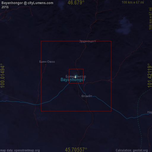
99.91%Clear (daylight) street map image can be seen on geolist.org.
Map coordinates:
46° 40' 44.4" North, 100° 0' 53.8" East
46° 11' 40" North, 100° 43' 5" East
45° 42' 20.1" North, 101° 25' 16.3" East
Some cities around Bayanhongor sort by population:
• Hovd
204.1 km =126.8 mi,  146°
146°
• Arvayheer
158.4 km =98.4 mi,  87°
87°
• Uliastay
340.5 km =211.6 mi,  300°
300°
• Altai
343.2 km =213.3 mi,  273°
273°
• Tosontsengel
338.5 km =210.3 mi,  327°
327°
• Harhorin
195.5 km =121.5 mi,  55°
55°
• Kharkhorin
194.5 km =120.9 mi, 55°
• Tsetserleg
153 km =95.1 mi,  21°
21°
2032533 (p: 26,252)
Sources (retrieved 2019-11-25):
» Earth at Night: Flat Maps 2012, 2016