Yamethin night lights from space
Night Light of Yamethin (Mandalay) from space (Myanmar) Src. Average luminocity for 10x10km area is 2.875% and for 50x50km: 0.5623%.
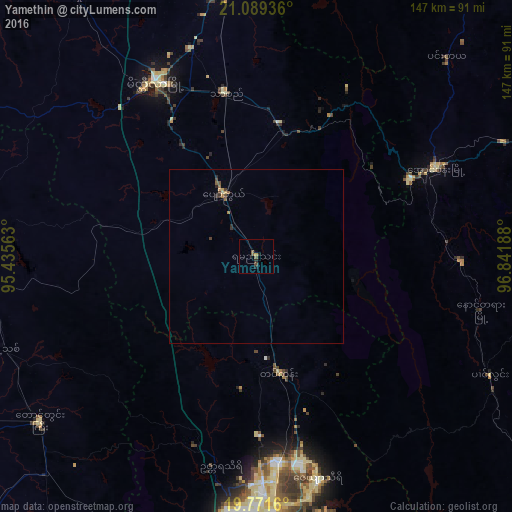
Analysis of Yamethin night lights 2016
Square area 10x10 km:
 0%
0%90-99
0%80-89
0%70-79
0.76%60-69
0%50-59
1.33%40-49
1.52%30-39
0.19%20-29
1.89%10-19
0.38%0-9
93.94%Square area 50x50 km:
0%90-99
0%80-89
0.05%70-79
0.11%60-69
0.1%50-59
0.17%40-49
0.21%30-39
0.14%20-29
0.18%10-19
0.02%0-9
99.04%Clear (daylight) street map image can be seen on geolist.org.
Map coordinates:
21° 5' 21.7" North, 95° 26' 8.3" East
20° 25' 54.8" North, 96° 8' 19.5" East
19° 46' 17.8" North, 96° 50' 30.8" East
Some cities around Yamethin sort by population:
• Nay Pyi Taw
76.4 km =47.5 mi,  180°
180°
• Meiktila
57.5 km =35.7 mi,  329°
329°
• Taunggyi
101.6 km =63.1 mi,  66°
66°
• Yenangyaung
132.1 km =82.1 mi,  271°
271°
• Pyinmana
77.5 km =48.2 mi,  174°
174°
• Magway
129.7 km =80.6 mi,  255°
255°
• Taungdwingyi
77.9 km =48.4 mi,  232°
232°
• Kyaukse
130.5 km =81.1 mi,  359°
359°
1285899 (p: 59,867)
Sources (retrieved 2019-11-25):
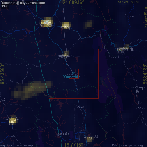
» NASA, Earths city lights 1995
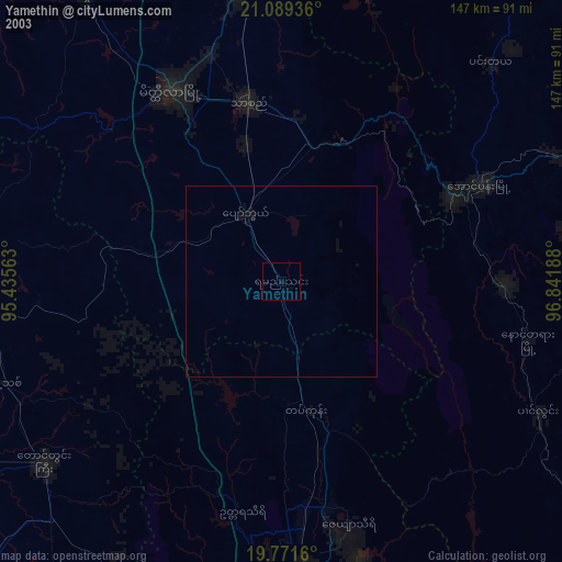
» NASA city lights 2003
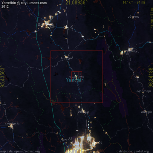
» Earth at Night: Flat Maps 2012, 2016