Nay Pyi Taw night lights from space
Night Light of Nay Pyi Taw from space (Myanmar) Src. Average luminocity for 10x10km area is 92.2025% and for 50x50km: 21.6778%.
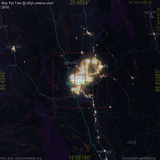
Analysis of Nay Pyi Taw night lights 2016
Square area 10x10 km:
 40.08%
90-99
24.59%80-89
25.41%70-79
5.37%60-69
1.65%50-59
2.69%40-49
0.21%30-39
0%20-29
0%10-19
0%0-9
0%Square area 50x50 km:
3.22%90-99
3%80-89
6.45%70-79
1.82%60-69
1.97%50-59
2.9%40-49
3.91%30-39
3.51%20-29
4.39%10-19
8.63%0-9
60.19%Clear (daylight) street map image can be seen on geolist.org.
Map coordinates:
20° 24' 19.4" North, 95° 25' 35.8" East
19° 44' 42" North, 96° 7' 47" East
19° 4' 54.7" North, 96° 49' 58.3" East
Some cities around Nay Pyi Taw sort by population:
• Meiktila
129.1 km =80.2 mi,  347°
347°
• Taungoo
94.7 km =58.8 mi,  160°
160°
• Thayetmyo
109.9 km =68.3 mi,  244°
244°
• Pyinmana
8.2 km =5.1 mi,  95°
95°
• Taungdwingyi
67.7 km =42.1 mi,  295°
295°
• Yamethin
76.4 km =47.5 mi,  0°
0°
• Myaydo
104.6 km =65 mi,  246°
246°
• Loikaw
113.3 km =70.4 mi,  93°
93°
6611854 (p: 925,000)
Sources (retrieved 2019-11-25):
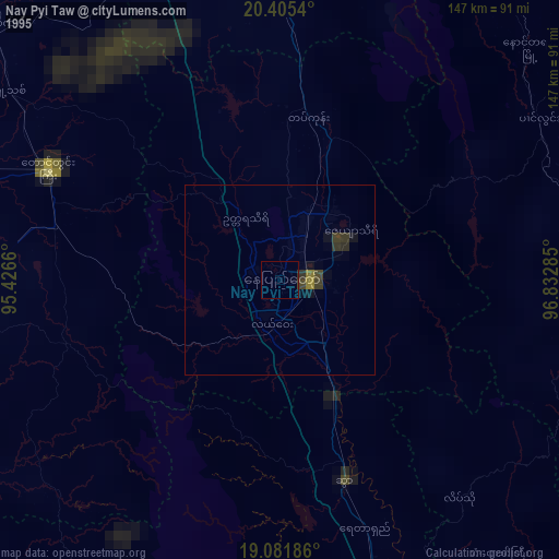
» NASA, Earths city lights 1995
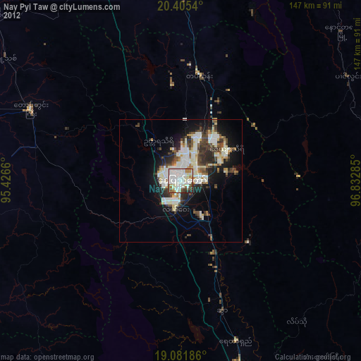
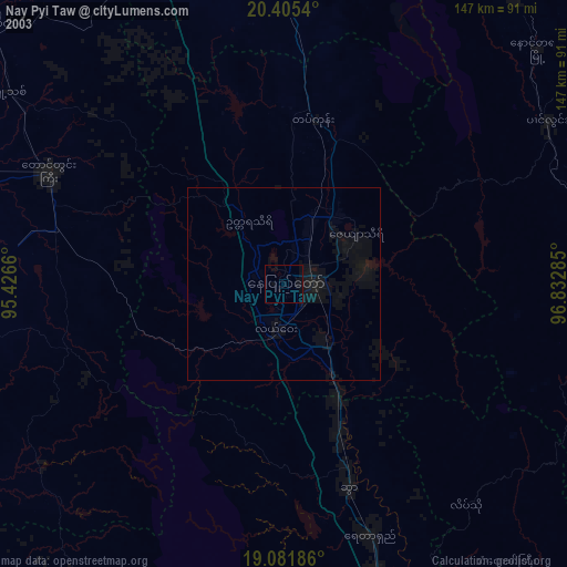
» NASA city lights 2003
» Earth at Night: Flat Maps 2012, 2016