Pyinmana night lights from space
Night Light of Pyinmana (Nay Pyi Taw) from space (Myanmar) Src. Average luminocity for 10x10km area is 62.3636% and for 50x50km: 21.7346%.
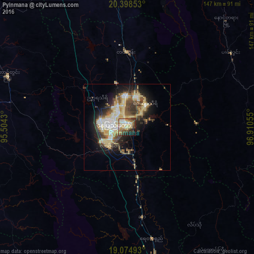

Analysis of Pyinmana night lights 2016
Square area 10x10 km:
 8.88%
8.88%90-99
9.71%80-89
23.55%70-79
5.17%60-69
8.88%50-59
5.79%40-49
13.84%30-39
5.37%20-29
9.71%10-19
8.06%0-9
1.03%Square area 50x50 km:
3.22%90-99
2.98%80-89
6.5%70-79
1.85%60-69
1.97%50-59
2.89%40-49
3.91%30-39
3.52%20-29
4.42%10-19
8.63%0-9
60.11%Clear (daylight) street map image can be seen on geolist.org.
Map coordinates:
20° 23' 54.7" North, 95° 30' 15.5" East
19° 44' 17.2" North, 96° 12' 26.7" East
19° 4' 29.7" North, 96° 54' 38" East
Some cities around Pyinmana sort by population:
• Nay Pyi Taw
8.2 km =5.1 mi,  275°
275°
• Meiktila
131.8 km =81.9 mi,  343°
343°
• Taungoo
91.6 km =56.9 mi,  164°
164°
• Thayetmyo
117 km =72.7 mi,  246°
246°
• Taungdwingyi
75.4 km =46.9 mi,  293°
293°
• Yamethin
77.5 km =48.2 mi,  354°
354°
• Myaydo
111.8 km =69.5 mi, 248°
• Loikaw
105.1 km =65.3 mi,  93°
93°
1298987 (p: 97,409)
Sources (retrieved 2019-11-25):
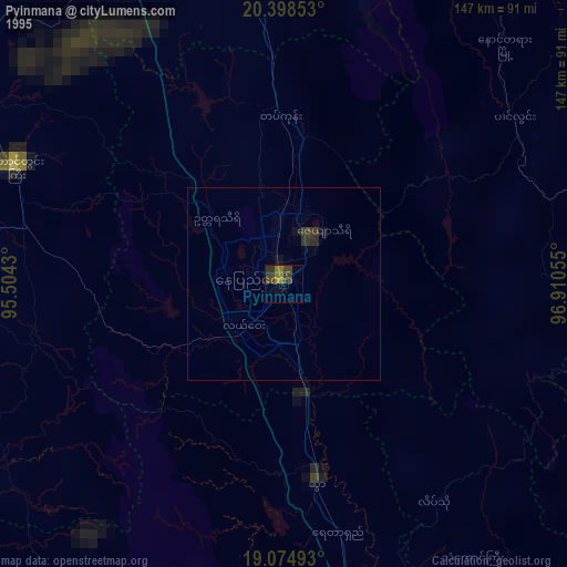
» NASA, Earths city lights 1995
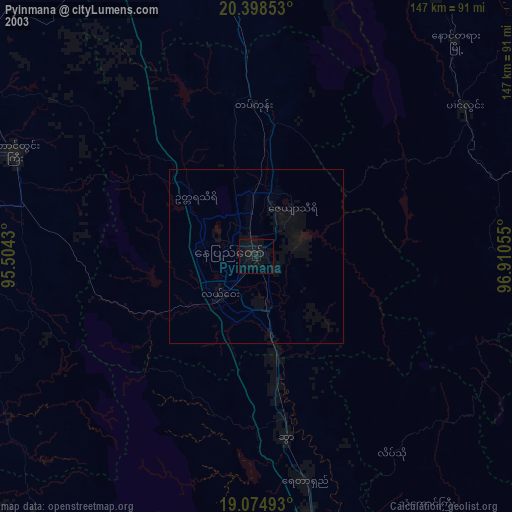
» NASA city lights 2003
» Earth at Night: Flat Maps 2012, 2016