Taunggyi night lights from space
Night Light of Taunggyi (Shan) from space (Myanmar) Src. Average luminocity for 10x10km area is 38.5833% and for 50x50km: 3.0672%.
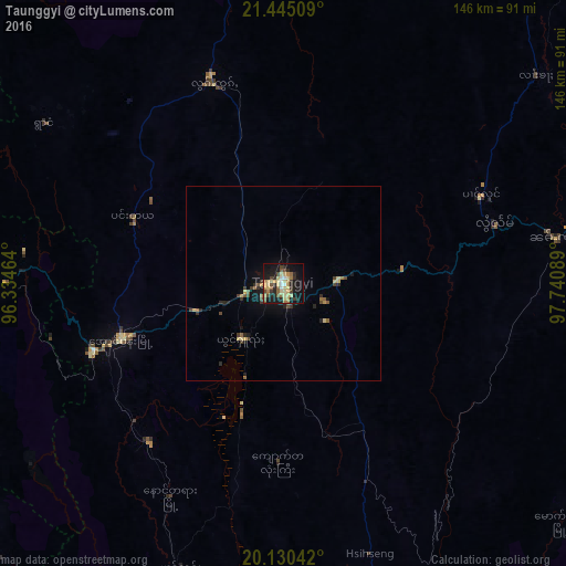
Analysis of Taunggyi night lights 2016
Square area 10x10 km:
 1.89%
1.89%90-99
3.03%80-89
14.96%70-79
3.98%60-69
5.49%50-59
6.63%40-49
5.11%30-39
1.89%20-29
10.98%10-19
32.95%0-9
13.07%Square area 50x50 km:
0.08%90-99
0.13%80-89
0.81%70-79
0.34%60-69
0.46%50-59
0.5%40-49
0.53%30-39
0.44%20-29
0.87%10-19
2.35%0-9
93.49%Clear (daylight) street map image can be seen on geolist.org.
Map coordinates:
21° 26' 42.3" North, 96° 20' 4.7" East
20° 47' 21.1" North, 97° 2' 15.9" East
20° 7' 49.5" North, 97° 44' 27.2" East
Some cities around Taunggyi sort by population:
• Nay Pyi Taw
149.8 km =93.1 mi,  219°
219°
• Meiktila
122.9 km =76.4 mi,  274°
274°
• Pyin Oo Lwin
151 km =93.8 mi,  336°
336°
• Pyinmana
145.5 km =90.4 mi, 216°
• Sagaing
163.4 km =101.5 mi,  317°
317°
• Yamethin
101.6 km =63.1 mi,  246°
246°
• Kyaukse
130.4 km =81 mi,  314°
314°
• Loikaw
124.9 km =77.6 mi,  171°
171°
1293960 (p: 160,115)
Sources (retrieved 2019-11-25):
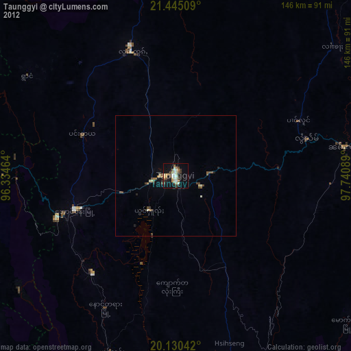
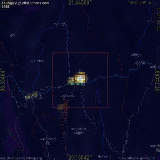
» NASA, Earths city lights 1995
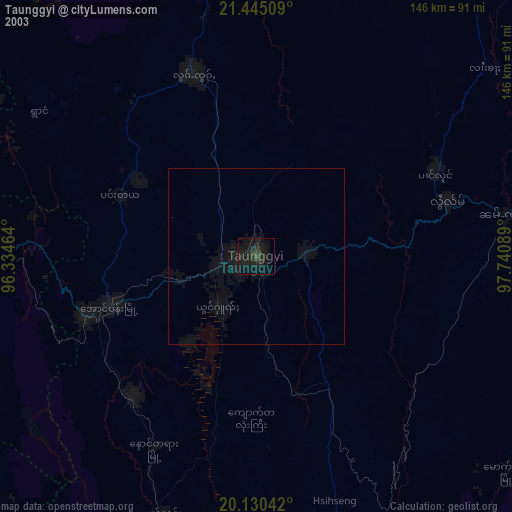
» NASA city lights 2003
» Earth at Night: Flat Maps 2012, 2016