Magway night lights from space
Night Light of Magway from space (Myanmar) Src. Average luminocity for 10x10km area is 28.504% and for 50x50km: 2.4454%.
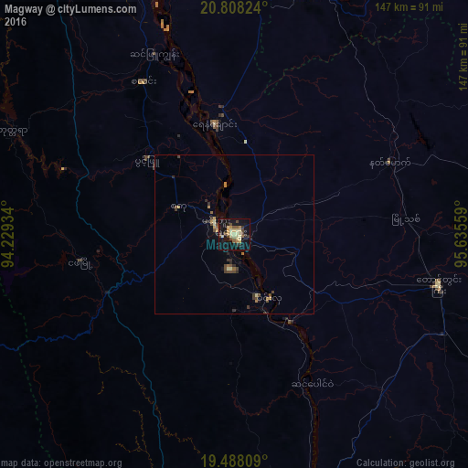
Analysis of Magway night lights 2016
Square area 10x10 km:
 0%
0%90-99
1.39%80-89
13.49%70-79
1.79%60-69
1.59%50-59
3.97%40-49
6.15%30-39
2.98%20-29
3.57%10-19
39.48%0-9
25.6%Square area 50x50 km:
0%90-99
0.08%80-89
0.73%70-79
0.28%60-69
0.22%50-59
0.29%40-49
0.72%30-39
0.48%20-29
0.44%10-19
1.86%0-9
94.9%Clear (daylight) street map image can be seen on geolist.org.
Map coordinates:
20° 48' 29.7" North, 94° 13' 45.6" East
20° 8' 58.4" North, 94° 55' 56.9" East
19° 29' 17.1" North, 95° 38' 8.1" East
Some cities around Magway sort by population:
• Meiktila
125.9 km =78.2 mi,  49°
49°
• Yenangyaung
35.7 km =22.2 mi,  349°
349°
• Thayetmyo
95.8 km =59.5 mi,  164°
164°
• Chauk
84.2 km =52.3 mi, 351°
• Taungdwingyi
65.9 km =40.9 mi,  103°
103°
• Yamethin
129.7 km =80.6 mi,  75°
75°
• Myaydo
91.8 km =57 mi, 161°
• Minbu
6.8 km =4.2 mi,  300°
300°
1312609 (p: 96,954)
Sources (retrieved 2019-11-25):
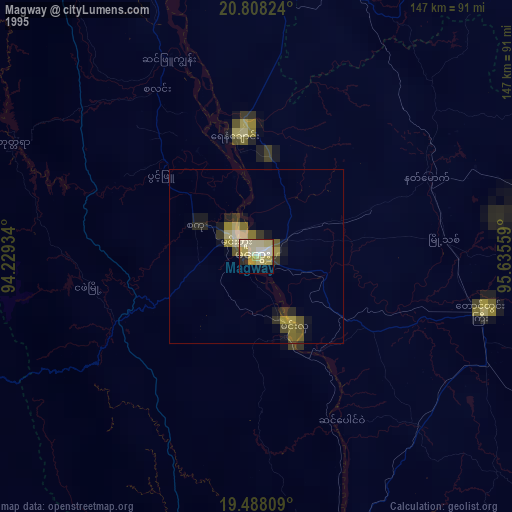
» NASA, Earths city lights 1995
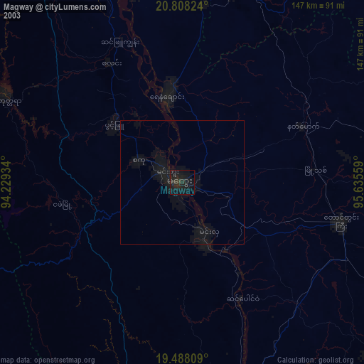
» NASA city lights 2003
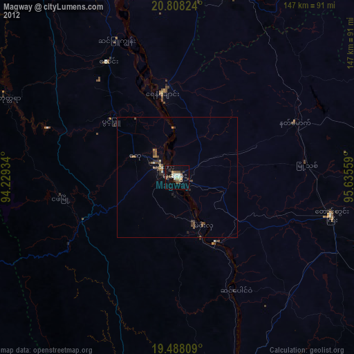
» Earth at Night: Flat Maps 2012, 2016