Meiktila night lights from space
Night Light of Meiktila (Mandalay) from space (Myanmar) Src. Average luminocity for 10x10km area is 36.0417% and for 50x50km: 3.1209%.
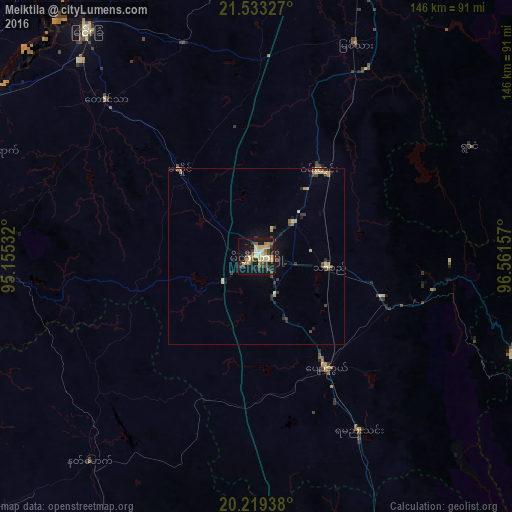
Analysis of Meiktila night lights 2016
Square area 10x10 km:
 1.59%
1.59%90-99
4.56%80-89
9.72%70-79
5.56%60-69
4.76%50-59
5.16%40-49
4.96%30-39
8.13%20-29
4.17%10-19
33.73%0-9
17.66%Square area 50x50 km:
0.06%90-99
0.23%80-89
0.78%70-79
0.48%60-69
0.32%50-59
0.31%40-49
0.52%30-39
0.8%20-29
0.61%10-19
2.25%0-9
93.64%Clear (daylight) street map image can be seen on geolist.org.
Map coordinates:
21° 31' 59.8" North, 95° 9' 19.2" East
20° 52' 39.9" North, 95° 51' 30.4" East
20° 13' 9.8" North, 96° 33' 41.7" East
Some cities around Meiktila sort by population:
• Myingyan
81 km =50.3 mi,  323°
323°
• Pakokku
95 km =59 mi,  302°
302°
• Yenangyaung
112.5 km =69.9 mi,  245°
245°
• Chauk
108.1 km =67.2 mi,  271°
271°
• Sagaing
112 km =69.6 mi,  6°
6°
• Taungdwingyi
102.2 km =63.5 mi,  198°
198°
• Yamethin
57.5 km =35.7 mi,  149°
149°
• Kyaukse
85.9 km =53.4 mi,  19°
19°
1309793 (p: 177,442)
Sources (retrieved 2019-11-25):
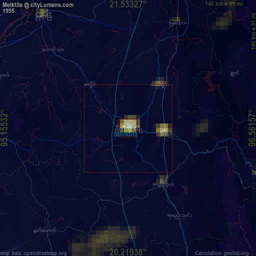
» NASA, Earths city lights 1995
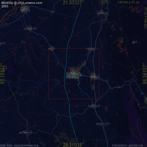
» NASA city lights 2003
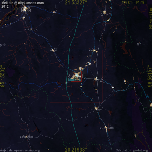
» Earth at Night: Flat Maps 2012, 2016