Kyaukse night lights from space
Night Light of Kyaukse (Mandalay) from space (Myanmar) Src. Average luminocity for 10x10km area is 9.6818% and for 50x50km: 1.5349%.
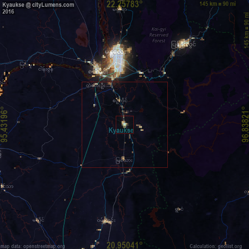
Analysis of Kyaukse night lights 2016
Square area 10x10 km:
 0.38%
0.38%90-99
1.14%80-89
2.08%70-79
1.7%60-69
0.76%50-59
0%40-49
1.52%30-39
3.6%20-29
1.89%10-19
0.19%0-9
86.74%Square area 50x50 km:
0.02%90-99
0.06%80-89
0.27%70-79
0.16%60-69
0.05%50-59
0.25%40-49
0.57%30-39
0.48%20-29
0.46%10-19
0.64%0-9
97.05%Clear (daylight) street map image can be seen on geolist.org.
Map coordinates:
22° 15' 28.2" North, 95° 25' 55.1" East
21° 36' 20.2" North, 96° 8' 6.3" East
20° 57' 1.5" North, 96° 50' 17.6" East
Some cities around Kyaukse sort by population:
• Mandalay
41.4 km =25.7 mi,  352°
352°
• Monywa
117.3 km =72.9 mi,  298°
298°
• Meiktila
85.9 km =53.4 mi,  199°
199°
• Myingyan
78.9 km =49 mi,  258°
258°
• Pakokku
112.8 km =70.1 mi,  254°
254°
• Pyin Oo Lwin
58.2 km =36.2 mi,  34°
34°
• Shwebo
116.2 km =72.2 mi,  337°
337°
• Sagaing
34.3 km =21.3 mi,  332°
332°
1316703 (p: 50,480)
Sources (retrieved 2019-11-25):
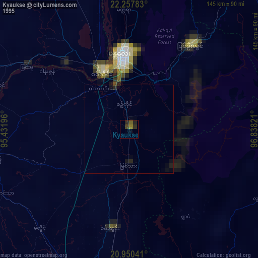
» NASA, Earths city lights 1995
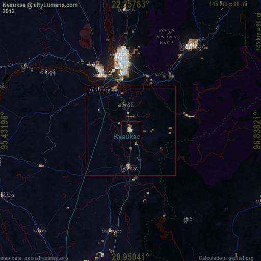
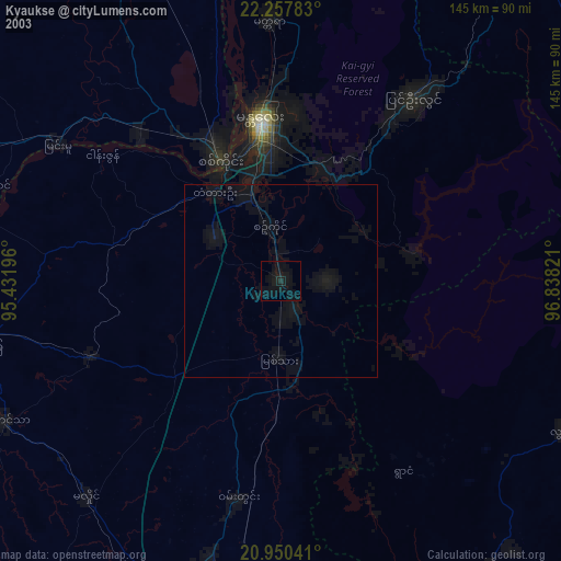
» NASA city lights 2003
» Earth at Night: Flat Maps 2012, 2016