Letpandan night lights from space
Night Light of Letpandan (Bago) from space (Myanmar) Src. Average luminocity for 10x10km area is 2.4113% and for 50x50km: 0.3831%.

Analysis of Letpandan night lights 2016
Square area 10x10 km:
 0%
0%90-99
0%80-89
0%70-79
0.65%60-69
0.22%50-59
0%40-49
1.95%30-39
1.52%20-29
0.87%10-19
0.87%0-9
93.94%Square area 50x50 km:
0%90-99
0%80-89
0%70-79
0.02%60-69
0.12%50-59
0.11%40-49
0.29%30-39
0.08%20-29
0.07%10-19
0.16%0-9
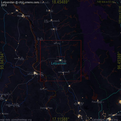
99.15%Clear (daylight) street map image can be seen on geolist.org.
Map coordinates:
18° 27' 17.6" North, 95° 2' 51.5" East
17° 47' 11.9" North, 95° 45' 2.7" East
17° 6' 57.2" North, 96° 27' 14" East
Some cities around Letpandan sort by population:
• Bago
92.3 km =57.4 mi,  122°
122°
• Hinthada
34.6 km =21.5 mi,  243°
243°
• Nyaunglebin
104.5 km =64.9 mi,  79°
79°
• Tharyarwady
15.3 km =9.5 mi,  164°
164°
• Myanaung
71.8 km =44.6 mi,  320°
320°
• Nyaungdon
83.3 km =51.8 mi,  188°
188°
• Thanatpin
103.3 km =64.2 mi, 122°
• Paungde
82.6 km =51.3 mi,  341°
341°
1314042 (p: 38,936)
Sources (retrieved 2019-11-25):
» Earth at Night: Flat Maps 2012, 2016