Tharyarwady night lights from space
Night Light of Tharyarwady (Bago) from space (Myanmar) Src. Average luminocity for 10x10km area is 2.9256% and for 50x50km: 0.3577%.
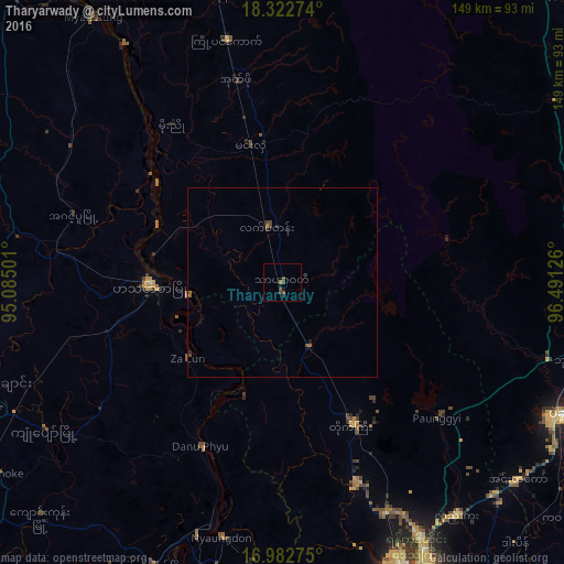
Analysis of Tharyarwady night lights 2016
Square area 10x10 km:
 0%
0%90-99
0%80-89
0%70-79
0%60-69
0.62%50-59
0.83%40-49
3.1%30-39
0.41%20-29
0%10-19
2.48%0-9
92.56%Square area 50x50 km:
0%90-99
0%80-89
0%70-79
0.02%60-69
0.11%50-59
0.14%40-49
0.24%30-39
0.07%20-29
0.1%10-19
0.16%0-9
99.16%Clear (daylight) street map image can be seen on geolist.org.
Map coordinates:
18° 19' 21.9" North, 95° 5' 6" East
17° 39' 14.4" North, 95° 47' 17.3" East
16° 58' 57.9" North, 96° 29' 28.5" East
Some cities around Tharyarwady sort by population:
• Yangon
102.1 km =63.4 mi,  157°
157°
• Bago
81.6 km =50.7 mi,  115°
115°
• Hinthada
35.1 km =21.8 mi,  269°
269°
• Myanaung
86 km =53.4 mi,  324°
324°
• Nyaungdon
69.6 km =43.2 mi,  193°
193°
• Letpandan
15.3 km =9.5 mi,  344°
344°
• Thanatpin
92.7 km =57.6 mi, 115°
• Paungde
97.8 km =60.8 mi, 342°
1292313 (p: 54,386)
Sources (retrieved 2019-11-25):
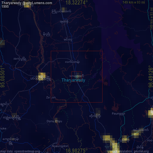
» NASA, Earths city lights 1995
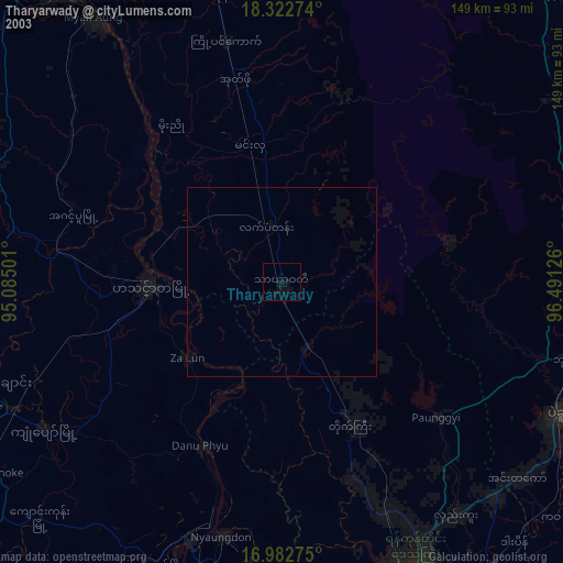
» NASA city lights 2003
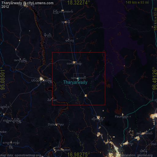
» Earth at Night: Flat Maps 2012, 2016