Dawei night lights from space
Night Light of Dawei (Tanintharyi) from space (Myanmar) Src. Average luminocity for 10x10km area is 7.8918% and for 50x50km: 0.3576%.
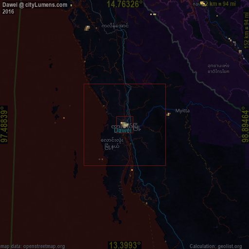
Analysis of Dawei night lights 2016
Square area 10x10 km:
 0%
0%90-99
0%80-89
1.73%70-79
0.87%60-69
1.52%50-59
3.46%40-49
2.81%30-39
0.43%20-29
0.43%10-19
1.52%0-9
87.23%Square area 50x50 km:
0%90-99
0%80-89
0.07%70-79
0.03%60-69
0.06%50-59
0.13%40-49
0.11%30-39
0.03%20-29
0.11%10-19
0.13%0-9
99.34%Clear (daylight) street map image can be seen on geolist.org.
Map coordinates:
14° 45' 47.7" North, 97° 29' 18.2" East
14° 4' 56.3" North, 98° 11' 29.4" East
13° 23' 57.5" North, 98° 53' 40.7" East
Some cities around Dawei sort by population:
• Kanchanaburi, TH
146.6 km =91.1 mi,  93°
93°
• Tha Maka, TH
171.1 km =106.3 mi,  96°
96°
• Photharam, TH
184.2 km =114.5 mi, 103°
• Tha Muang, TH
157 km =97.6 mi, 94°
• Bo Phloi, TH
145.2 km =90.2 mi,  79°
79°
• Chom Bueng, TH
159.7 km =99.2 mi,  108°
108°
• Phanom Thuan, TH
162.6 km =101 mi, 88°
• Sangkhla Buri, TH
122.6 km =76.2 mi,  13°
13°
1293625 (p: 136,783)
Sources (retrieved 2019-11-25):
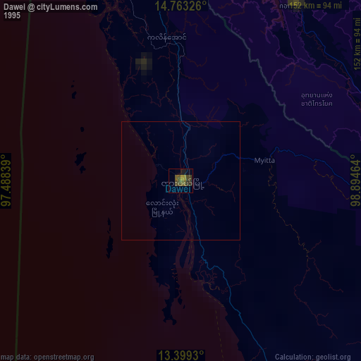
» NASA, Earths city lights 1995
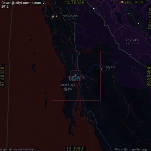
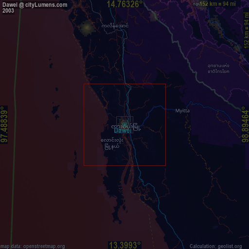
» NASA city lights 2003
» Earth at Night: Flat Maps 2012, 2016