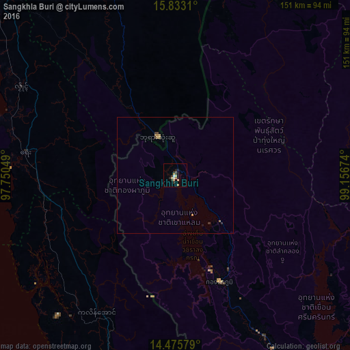
Sangkhla Buri night lights from space
Night Light of Sangkhla Buri (Kanchanaburi) from space (Thailand) Src. Average luminocity for 10x10km area is 10.343% and for 50x50km: 0.7045%.
Analysis of Sangkhla Buri night lights 2016
Square area 10x10 km:
 0.41%
0.41%90-99
1.24%80-89
4.13%70-79
0.83%60-69
0.83%50-59
0.21%40-49
1.45%30-39
1.86%20-29
2.69%10-19
1.24%0-9
85.12%Square area 50x50 km:
0.02%90-99
0.05%80-89
0.22%70-79
0.15%60-69
0.09%50-59
0.01%40-49
0.12%30-39
0.18%20-29
0.11%10-19
0.08%0-9
98.97%Clear (daylight) street map image can be seen on geolist.org.
Map coordinates:
15° 49' 59.2" North, 97° 45' 1.8" East
15° 9' 19.9" North, 98° 27' 13" East
14° 28' 32.8" North, 99° 9' 24.3" East
Some cities around Sangkhla Buri sort by population:
• Kyain Seikgyi Township, MM
77.3 km =48 mi,  343°
343°
• Dawei, MM
122.6 km =76.2 mi,  193°
193°
• Mudon, MM
145.1 km =90.2 mi,  327°
327°
• Kyaikkami, MM
139.9 km =86.9 mi,  317°
317°
• Lat Yao
157.7 km =98 mi,  65°
65°
• Bo Phloi
146.8 km =91.2 mi,  128°
128°
• Lan Sak
124.8 km =77.5 mi, 74°
• Huai Khot
125.7 km =78.1 mi,  83°
83°
1150735 (p: 10,000)
Sources (retrieved 2019-11-25):
» Earth at Night: Flat Maps 2012, 2016