Inékar night lights from space
Night Light of Inékar (Gao) from space (Mali) Src. Average luminocity for 10x10km area is 0% and for 50x50km: 0%.
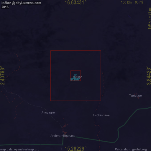
Analysis of Inékar night lights 2016
Square area 10x10 km:
 0%
0%90-99
0%80-89
0%70-79
0%60-69
0%50-59
0%40-49
0%30-39
0%20-29
0%10-19
0%0-9
100%Square area 50x50 km:
0%90-99
0%80-89
0%70-79
0%60-69
0%50-59
0%40-49
0%30-39
0%20-29
0%10-19
0%0-9
100%Clear (daylight) street map image can be seen on geolist.org.
Map coordinates:
16° 38' 3.5" North, 2° 26' 16.7" East
15° 57' 34" North, 3° 8' 28" East
15° 16' 56.2" North, 3° 50' 39.2" East
Some cities around Inékar sort by population:
• Tahoua, NE
257.3 km =159.9 mi,  117°
117°
• Dogondoutchi, NE
274.9 km =170.8 mi,  159°
159°
• Ayorou, NE
274.8 km =170.8 mi,  240°
240°
• Tillabéri, NE
266 km =165.3 mi,  222°
222°
• Illéla, NE
280.5 km =174.3 mi,  126°
126°
• Filingué, NE
179.7 km =111.7 mi,  173°
173°
• Ménaka
79.1 km =49.2 mi,  266°
266°
• Ouallam, NE
214.9 km =133.5 mi,  211°
211°
2596483 (p: 8,714)
Sources (retrieved 2019-11-25):
» Earth at Night: Flat Maps 2012, 2016