Gevgelija night lights from space
Night Light of Gevgelija from space (North Macedonia) Src. Average luminocity for 10x10km area is 21.8052% and for 50x50km: 2.6081%.
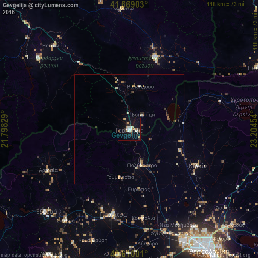
Analysis of Gevgelija night lights 2016
Square area 10x10 km:
 2.44%
2.44%90-99
6.66%80-89
1.46%70-79
3.25%60-69
1.79%50-59
1.46%40-49
0.49%30-39
2.6%20-29
3.25%10-19
23.21%0-9
53.41%Square area 50x50 km:
0.15%90-99
0.51%80-89
0.26%70-79
0.35%60-69
0.35%50-59
0.33%40-49
0.26%30-39
0.41%20-29
0.66%10-19
1.22%0-9
95.5%Clear (daylight) street map image can be seen on geolist.org.
Map coordinates:
41° 40' 8.5" North, 21° 47' 53.8" East
41° 8' 30" North, 22° 30' 5.1" East
40° 36' 36" North, 23° 12' 16.3" East
Some cities around Gevgelija sort by population:
• Strumica
35 km =21.7 mi,  19°
19°
• Kilkís, GR
35.4 km =22 mi,  117°
117°
• Bosilovo
38.2 km =23.7 mi,  29°
29°
• Bogdanci
9.2 km =5.7 mi,  42°
42°
• Polýkastro, GR
17.3 km =10.7 mi,  160°
160°
• Demir Kapija
36.3 km =22.6 mi,  324°
324°
• Valandovo
20.2 km =12.6 mi,  14°
14°
• Star Dojran
19 km =11.8 mi,  74°
74°
790744 (p: 20,664)
Sources (retrieved 2019-11-25):
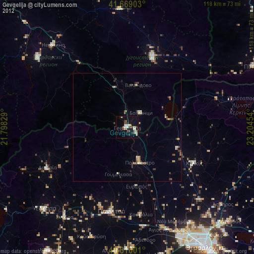
» Earth at Night: Flat Maps 2012, 2016