Strumica night lights from space
Night Light of Strumica from space (North Macedonia) Src. Average luminocity for 10x10km area is 18.2483% and for 50x50km: 1.6617%.
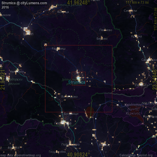
Analysis of Strumica night lights 2016
Square area 10x10 km:
 1.87%
1.87%90-99
4.08%80-89
2.04%70-79
1.7%60-69
1.53%50-59
3.06%40-49
1.87%30-39
2.89%20-29
0.85%10-19
12.76%0-9
67.35%Square area 50x50 km:
0.09%90-99
0.32%80-89
0.18%70-79
0.23%60-69
0.12%50-59
0.34%40-49
0.2%30-39
0.31%20-29
0.31%10-19
0.66%0-9
97.25%Clear (daylight) street map image can be seen on geolist.org.
Map coordinates:
41° 57' 44.9" North, 21° 56' 24.8" East
41° 26' 15" North, 22° 38' 36" East
40° 54' 29.7" North, 23° 20' 47.3" East
Some cities around Strumica sort by population:
• Radovis
26.8 km =16.7 mi,  326°
326°
• Bosilovo
7 km =4.3 mi,  87°
87°
• Vasilevo
4.1 km =2.5 mi,  359°
359°
• Novo Selo
20 km =12.4 mi,  97°
97°
• Bogdanci
26.7 km =16.6 mi,  192°
192°
• Valandovo
15.1 km =9.4 mi,  207°
207°
• Konče
22.6 km =14 mi,  286°
286°
• Star Dojran
28.6 km =17.8 mi,  167°
167°
785380 (p: 45,508)
Sources (retrieved 2019-11-25):
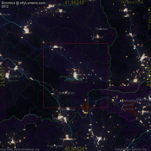
» Earth at Night: Flat Maps 2012, 2016