Bosilovo night lights from space
Night Light of Bosilovo from space (North Macedonia) Src. Average luminocity for 10x10km area is 4.9541% and for 50x50km: 1.7283%.
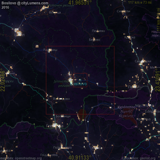
Analysis of Bosilovo night lights 2016
Square area 10x10 km:
 0%
0%90-99
0%80-89
0%70-79
0%60-69
0.85%50-59
2.72%40-49
0.51%30-39
0.34%20-29
2.38%10-19
1.53%0-9
91.67%Square area 50x50 km:
0.09%90-99
0.34%80-89
0.18%70-79
0.23%60-69
0.14%50-59
0.34%40-49
0.25%30-39
0.29%20-29
0.37%10-19
0.69%0-9
97.09%Clear (daylight) street map image can be seen on geolist.org.
Map coordinates:
41° 57' 55.8" North, 22° 1' 28.8" East
41° 26' 26" North, 22° 43' 40" East
40° 54' 40.8" North, 23° 25' 51.3" East
Some cities around Bosilovo sort by population:
• Strumica
7 km =4.3 mi,  267°
267°
• Radovis
31 km =19.3 mi,  315°
315°
• Vasilevo
8 km =5 mi,  297°
297°
• Novo Selo
13.1 km =8.1 mi,  102°
102°
• Bogdanci
29.3 km =18.2 mi,  205°
205°
• Valandovo
19.6 km =12.2 mi,  225°
225°
• Konče
29.3 km =18.2 mi,  281°
281°
• Star Dojran
28.3 km =17.6 mi,  181°
181°
792419 (p: 12,447)
Sources (retrieved 2019-11-25):
» Earth at Night: Flat Maps 2012, 2016