Demir Kapija night lights from space
Night Light of Demir Kapija from space (North Macedonia) Src. Average luminocity for 10x10km area is 2.6735% and for 50x50km: 1.5919%.
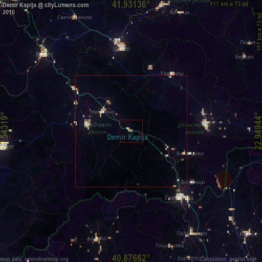
Analysis of Demir Kapija night lights 2016
Square area 10x10 km:
 0.17%
0.17%90-99
0.51%80-89
0%70-79
0.68%60-69
1.19%50-59
0.85%40-49
0%30-39
0%20-29
0%10-19
0%0-9
96.6%Square area 50x50 km:
0.04%90-99
0.35%80-89
0.18%70-79
0.22%60-69
0.28%50-59
0.24%40-49
0.16%30-39
0.19%20-29
0.17%10-19
0.14%0-9
98.05%Clear (daylight) street map image can be seen on geolist.org.
Map coordinates:
41° 55' 52.9" North, 21° 32' 35.5" East
41° 24' 22.1" North, 22° 14' 46.7" East
40° 52' 35.8" North, 22° 56' 58" East
Some cities around Demir Kapija sort by population:
• Strumica
33.3 km =20.7 mi,  83°
83°
• Kavadarci
19.8 km =12.3 mi,  278°
278°
• Radovis
31.6 km =19.6 mi,  35°
35°
• Negotino
15.6 km =9.7 mi,  303°
303°
• Rosoman
27.9 km =17.3 mi, 296°
• Valandovo
28 km =17.4 mi,  110°
110°
• Gradsko
31.7 km =19.7 mi,  307°
307°
• Konče
15.1 km =9.4 mi,  49°
49°
791542 (p: 4,451)
Sources (retrieved 2019-11-25):
» Earth at Night: Flat Maps 2012, 2016