Kilkís night lights from space
Night Light of Kilkís (Central Macedonia) from space (Greece) Src. Average luminocity for 10x10km area is 11.6837% and for 50x50km: 3.5217%.
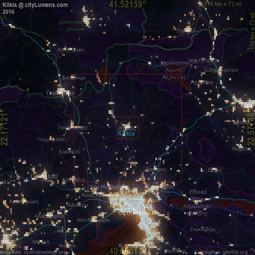
Analysis of Kilkís night lights 2016
Square area 10x10 km:
 1.02%
1.02%90-99
1.7%80-89
2.04%70-79
2.04%60-69
0.85%50-59
1.7%40-49
1.19%30-39
1.36%20-29
1.87%10-19
0.85%0-9
85.37%Square area 50x50 km:
0.1%90-99
0.35%80-89
0.28%70-79
0.51%60-69
0.53%50-59
0.61%40-49
0.55%30-39
0.67%20-29
0.9%10-19
2.06%0-9
93.46%Clear (daylight) street map image can be seen on geolist.org.
Map coordinates:
41° 31' 17.7" North, 22° 10' 16.4" East
40° 59' 34.9" North, 22° 52' 27.6" East
40° 27' 36.6" North, 23° 34' 38.9" East
Some cities around Kilkís sort by population:
• Gevgelija, MK
35.4 km =22 mi,  297°
297°
• Oraiókastro
29.4 km =18.3 mi,  172°
172°
• Diavatá
34 km =21.1 mi,  182°
182°
• Bogdanci, MK
34.2 km =21.3 mi,  313°
313°
• Koufália
34.9 km =21.7 mi,  226°
226°
• Lagkadás
31.5 km =19.6 mi,  149°
149°
• Polýkastro
25.6 km =15.9 mi,  270°
270°
• Star Dojran, MK
25.1 km =15.6 mi,  329°
329°
735736 (p: 22,914)
Sources (retrieved 2019-11-25):
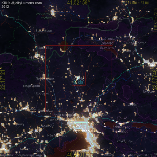
» Earth at Night: Flat Maps 2012, 2016