Radovis night lights from space
Night Light of Radovis (Radovish) from space (North Macedonia) Src. Average luminocity for 10x10km area is 4.5422% and for 50x50km: 1.9282%.
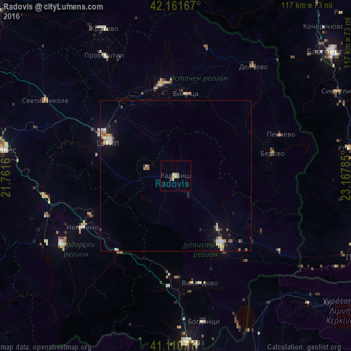

Analysis of Radovis night lights 2016
Square area 10x10 km:
 0%
0%90-99
0.97%80-89
0.81%70-79
1.46%60-69
0%50-59
1.3%40-49
0.32%30-39
0.32%20-29
0%10-19
0.65%0-9
94.16%Square area 50x50 km:
0.15%90-99
0.44%80-89
0.21%70-79
0.29%60-69
0.17%50-59
0.35%40-49
0.17%30-39
0.21%20-29
0.23%10-19
1.11%0-9
96.67%Clear (daylight) street map image can be seen on geolist.org.
Map coordinates:
42° 9' 42" North, 21° 45' 41.8" East
41° 38' 18" North, 22° 27' 53" East
41° 6' 38.6" North, 23° 10' 4.3" East
Some cities around Radovis sort by population:
• Shtip
25.3 km =15.7 mi,  298°
298°
• Strumica
26.8 km =16.7 mi,  146°
146°
• Vinica
27.4 km =17 mi,  7°
7°
• Bosilovo
31 km =19.3 mi,  135°
135°
• Vasilevo
23.5 km =14.6 mi, 140°
• Karbinci
27.6 km =17.1 mi,  316°
316°
• Konče
17.3 km =10.7 mi,  202°
202°
• Zrnovci
24.1 km =15 mi,  355°
355°
786565 (p: 24,984)
Sources (retrieved 2019-11-25):
» Earth at Night: Flat Maps 2012, 2016