Kavadarci night lights from space
Night Light of Kavadarci from space (North Macedonia) Src. Average luminocity for 10x10km area is 12.2024% and for 50x50km: 1.3807%.
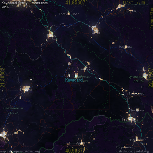
Analysis of Kavadarci night lights 2016
Square area 10x10 km:
 0.51%
0.51%90-99
3.06%80-89
1.19%70-79
0.68%60-69
2.72%50-59
1.36%40-49
1.53%30-39
1.19%20-29
0%10-19
0.68%0-9
87.07%Square area 50x50 km:
0.04%90-99
0.27%80-89
0.19%70-79
0.19%60-69
0.24%50-59
0.21%40-49
0.18%30-39
0.14%20-29
0.1%10-19
0.12%0-9
98.31%Clear (daylight) street map image can be seen on geolist.org.
Map coordinates:
41° 57' 29.1" North, 21° 18' 31.8" East
41° 25' 59" North, 22° 0' 43" East
40° 54' 13.6" North, 22° 42' 54.3" East
Some cities around Kavadarci sort by population:
• Veles
37.1 km =23.1 mi,  327°
327°
• Shtip
38 km =23.6 mi,  23°
23°
• Negotino
8.7 km =5.4 mi,  48°
48°
• Demir Kapija
19.8 km =12.3 mi,  98°
98°
• Rosoman
10.8 km =6.7 mi, 329°
• Gradsko
17.1 km =10.6 mi,  340°
340°
• Konče
31.7 km =19.7 mi,  77°
77°
• Čaška
37.8 km =23.5 mi,  309°
309°
789541 (p: 38,799)
Sources (retrieved 2019-11-25):
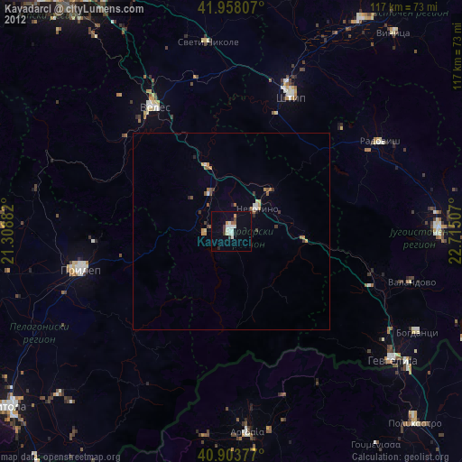
» Earth at Night: Flat Maps 2012, 2016