Aur night lights from space
Night Light of Aur (Aur Atoll) from space (Marshall Islands) Src. Average luminocity for 10x10km area is 0% and for 50x50km: 0%.
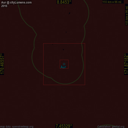
Analysis of Aur night lights 2016
Square area 10x10 km:
 0%
0%90-99
0%80-89
0%70-79
0%60-69
0%50-59
0%40-49
0%30-39
0%20-29
0%10-19
0%0-9
100%Square area 50x50 km:
0%90-99
0%80-89
0%70-79
0%60-69
0%50-59
0%40-49
0%30-39
0%20-29
0%10-19
0%0-9
100%Clear (daylight) street map image can be seen on geolist.org.
Map coordinates:
8° 50' 43.1" North, 170° 27' 56.1" East
8° 8' 59.6" North, 171° 10' 7.3" East
7° 27' 11.8" North, 171° 52' 18.6" East
Some cities around Aur sort by population:
• Majuro
120.2 km =74.7 mi,  168°
168°
• Arno
127.7 km =79.3 mi,  160°
160°
• Wotje
177.5 km =110.3 mi,  324°
324°
• Mili
238.3 km =148.1 mi, 164°
• Mejit
238.7 km =148.3 mi,  351°
351°
• Jabat
245.6 km =152.6 mi,  259°
259°
• RMI Capitol
120.2 km =74.7 mi, 168°
• Taroa
62.1 km =38.6 mi,  5°
5°
7306513 (p: 438)
Sources (retrieved 2019-11-25):
» Earth at Night: Flat Maps 2012, 2016