Airuk night lights from space
Night Light of Airuk (Ailinglaplap Atoll) from space (Marshall Islands) Src. Average luminocity for 10x10km area is 0% and for 50x50km: 0%.
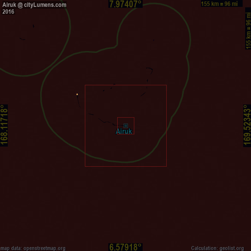
Analysis of Airuk night lights 2016
Square area 10x10 km:
 0%
0%90-99
0%80-89
0%70-79
0%60-69
0%50-59
0%40-49
0%30-39
0%20-29
0%10-19
0%0-9
100%Square area 50x50 km:
0%90-99
0%80-89
0%70-79
0%60-69
0%50-59
0%40-49
0%30-39
0%20-29
0%10-19
0%0-9
100%Clear (daylight) street map image can be seen on geolist.org.
Map coordinates:
7° 58' 26.7" North, 168° 7' 1.8" East
7° 16' 37.8" North, 168° 49' 13.1" East
6° 34' 45" North, 169° 31' 24.3" East
Some cities around Airuk sort by population:
• Ebaye
204.7 km =127.2 mi,  324°
324°
• Jabor
176.1 km =109.4 mi,  148°
148°
• Namdrik
202.7 km =126 mi,  203°
203°
• Kili
184.6 km =114.7 mi,  169°
169°
• Aur
276.3 km =171.7 mi,  69°
69°
• Lib
196.3 km =122 mi,  305°
305°
• Jabat
55.3 km =34.4 mi,  17°
17°
• Loen
84.3 km =52.4 mi, 309°
7306515 (p: 0)
Sources (retrieved 2019-11-25):
» Earth at Night: Flat Maps 2012, 2016