Toamasina night lights from space
Night Light of Toamasina (Atsinanana) from space (Madagascar) Src. Average luminocity for 10x10km area is 33.5779% and for 50x50km: 1.9792%.
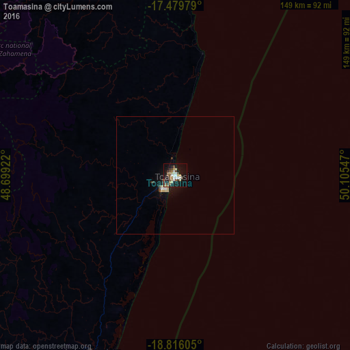
Analysis of Toamasina night lights 2016
Square area 10x10 km:
 3.25%
3.25%90-99
6.49%80-89
7.36%70-79
2.38%60-69
3.03%50-59
6.49%40-49
4.76%30-39
4.11%20-29
4.98%10-19
32.03%0-9
25.11%Square area 50x50 km:
0.19%90-99
0.27%80-89
0.47%70-79
0.14%60-69
0.13%50-59
0.24%40-49
0.29%30-39
0.27%20-29
0.19%10-19
2%0-9
95.81%Clear (daylight) street map image can be seen on geolist.org.
Map coordinates:
17° 28' 47.2" South, 48° 41' 57.2" East
18° 8' 57.1" South, 49° 24' 8.4" East
18° 48' 57.8" South, 50° 6' 19.7" East
Some cities around Toamasina sort by population:
• Ambatondrazaka
110 km =68.4 mi,  288°
288°
• Vavatenina
78.9 km =49 mi,  344°
344°
• Vohibinany
97.1 km =60.3 mi, 336°
• Fenoarivo Atsinanana
85.4 km =53.1 mi,  0°
0°
• Ampasimanolotra
82.2 km =51.1 mi,  205°
205°
• Andovoranto
94.7 km =58.8 mi,  199°
199°
• Sahatavy
88.6 km =55.1 mi,  331°
331°
• Mahavelona
52.9 km =32.9 mi,  12°
12°
1053384 (p: 206,373)
Sources (retrieved 2019-11-25):
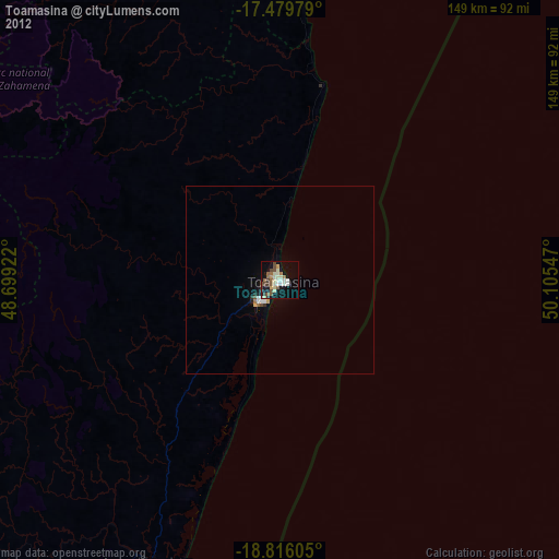
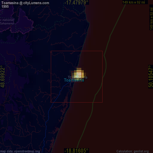
» NASA, Earths city lights 1995
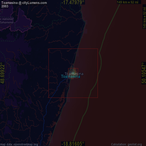
» NASA city lights 2003
» Earth at Night: Flat Maps 2012, 2016