Sahatavy night lights from space
Night Light of Sahatavy (Analanjirofo) from space (Madagascar) Src. Average luminocity for 10x10km area is 0% and for 50x50km: 0%.
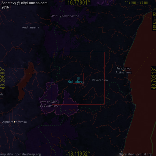
Analysis of Sahatavy night lights 2016
Square area 10x10 km:
 0%
0%90-99
0%80-89
0%70-79
0%60-69
0%50-59
0%40-49
0%30-39
0%20-29
0%10-19
0%0-9
100%Square area 50x50 km:
0%90-99
0%80-89
0%70-79
0%60-69
0%50-59
0%40-49
0%30-39
0%20-29
0%10-19
0%0-9
100%Clear (daylight) street map image can be seen on geolist.org.
Map coordinates:
16° 46' 40.8" South, 48° 17' 48.8" East
17° 27' 0" South, 49° 0' 0" East
18° 7' 10.3" South, 49° 42' 11.3" East
Some cities around Sahatavy sort by population:
• Amparafaravola
83.7 km =52 mi,  259°
259°
• Ambatondrazaka
75.1 km =46.7 mi,  235°
235°
• Vavatenina
21.3 km =13.2 mi,  94°
94°
• Vohibinany
11.7 km =7.3 mi,  17°
17°
• Fenoarivo Atsinanana
44 km =27.3 mi,  79°
79°
• Andilamena
66.7 km =41.4 mi,  317°
317°
• Bemaitso
68.1 km =42.3 mi,  308°
308°
• Mahavelona
59.9 km =37.2 mi,  115°
115°
1057330 (p: 10,000)
Sources (retrieved 2019-11-25):
» Earth at Night: Flat Maps 2012, 2016