Andovoranto night lights from space
Night Light of Andovoranto (Atsinanana) from space (Madagascar) Src. Average luminocity for 10x10km area is 0% and for 50x50km: 0.0111%.
Analysis of Andovoranto night lights 2016
Square area 10x10 km:
 0%
0%90-99
0%80-89
0%70-79
0%60-69
0%50-59
0%40-49
0%30-39
0%20-29
0%10-19
0%0-9
100%Square area 50x50 km:
0%90-99
0%80-89
0%70-79
0%60-69
0%50-59
0%40-49
0%30-39
0.03%20-29
0%10-19
0%0-9
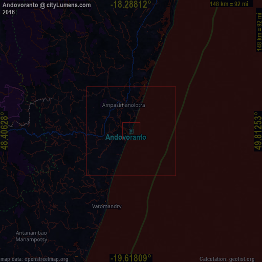
99.97%Clear (daylight) street map image can be seen on geolist.org.
Map coordinates:
18° 17' 17.2" South, 48° 24' 22.6" East
18° 57' 15.9" South, 49° 6' 33.8" East
19° 37' 5.1" South, 49° 48' 45.1" East
Some cities around Andovoranto sort by population:
• Toamasina
94.7 km =58.8 mi,  19°
19°
• Mahanoro
110 km =68.4 mi,  197°
197°
• Manjakandriana
137.8 km =85.6 mi,  271°
271°
• Moramanga
92.5 km =57.5 mi, 270°
• Ampasimanolotra
16 km =9.9 mi,  343°
343°
• Mantasoa
134.3 km =83.5 mi, 267°
• Merikanjaka
133.9 km =83.2 mi,  261°
261°
• Ambohitseheno
139.1 km =86.4 mi,  277°
277°
1076227 (p: 10,429)
Sources (retrieved 2019-11-25):
» Earth at Night: Flat Maps 2012, 2016