Fenoarivo Atsinanana night lights from space
Night Light of Fenoarivo Atsinanana (Analanjirofo) from space (Madagascar) Src. Average luminocity for 10x10km area is 0.3182% and for 50x50km: 0.0125%.

Analysis of Fenoarivo Atsinanana night lights 2016
Square area 10x10 km:
 0%
0%90-99
0%80-89
0%70-79
0%60-69
0%50-59
0%40-49
0%30-39
0.83%20-29
0%10-19
0%0-9
99.17%Square area 50x50 km:
0%90-99
0%80-89
0%70-79
0%60-69
0%50-59
0%40-49
0%30-39
0.03%20-29
0%10-19
0%0-9
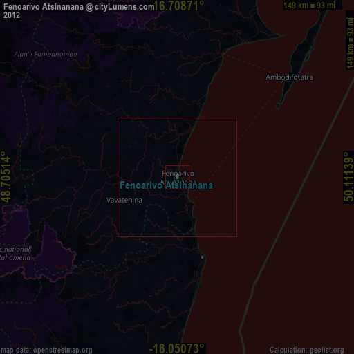
99.97%Clear (daylight) street map image can be seen on geolist.org.
Map coordinates:
16° 42' 31.4" South, 48° 42' 18.5" East
17° 22' 51.4" South, 49° 24' 29.7" East
18° 3' 2.6" South, 50° 6' 41" East
Some cities around Fenoarivo Atsinanana sort by population:
• Toamasina
85.4 km =53.1 mi,  180°
180°
• Soanierana Ivongo
54.9 km =34.1 mi,  19°
19°
• Vavatenina
24.1 km =15 mi,  246°
246°
• Vohibinany
39.9 km =24.8 mi,  274°
274°
• Andilamena
97.8 km =60.8 mi,  294°
294°
• Ambodifotatra
64.5 km =40.1 mi,  46°
46°
• Sahatavy
44 km =27.3 mi,  259°
259°
• Mahavelona
35.4 km =22 mi,  162°
162°
1064980 (p: 21,036)
Sources (retrieved 2019-11-25):
» Earth at Night: Flat Maps 2012, 2016