Ambatondrazaka night lights from space
Night Light of Ambatondrazaka (Alaotra Mangoro) from space (Madagascar) Src. Average luminocity for 10x10km area is 1.4719% and for 50x50km: 0.0559%.
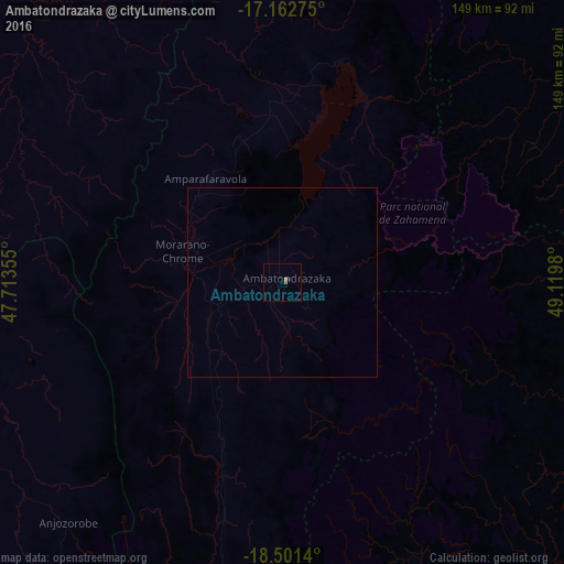
Analysis of Ambatondrazaka night lights 2016
Square area 10x10 km:
 0%
0%90-99
0%80-89
0%70-79
0.87%60-69
0.22%50-59
0.65%40-49
0%30-39
0%20-29
0.87%10-19
0%0-9
97.4%Square area 50x50 km:
0%90-99
0%80-89
0%70-79
0.03%60-69
0.01%50-59
0.02%40-49
0%30-39
0%20-29
0.03%10-19
0%0-9
99.9%Clear (daylight) street map image can be seen on geolist.org.
Map coordinates:
17° 9' 45.9" South, 47° 42' 48.8" East
17° 49' 60" South, 48° 25' 0" East
18° 30' 5" South, 49° 7' 11.3" East
Some cities around Ambatondrazaka sort by population:
• Toamasina
110 km =68.4 mi,  108°
108°
• Amparafaravola
34.1 km =21.2 mi,  323°
323°
• Vavatenina
92.5 km =57.5 mi,  63°
63°
• Vohibinany
84.6 km =52.6 mi,  50°
50°
• Andilamena
93 km =57.8 mi,  10°
10°
• Anjozorobe
85.7 km =53.3 mi,  222°
222°
• Sahatavy
75.1 km =46.7 mi, 55°
• Bemaitso
85.7 km =53.3 mi, 5°
1082639 (p: 43,134)
Sources (retrieved 2019-11-25):
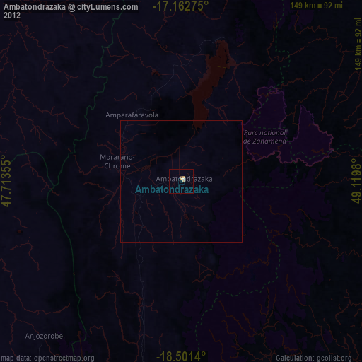
» Earth at Night: Flat Maps 2012, 2016