Vohibinany night lights from space
Night Light of Vohibinany (Atsinanana) from space (Madagascar) Src. Average luminocity for 10x10km area is 0% and for 50x50km: 0%.
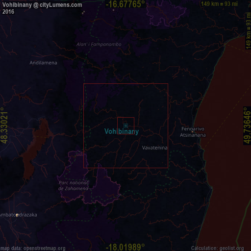
Analysis of Vohibinany night lights 2016
Square area 10x10 km:
 0%
0%90-99
0%80-89
0%70-79
0%60-69
0%50-59
0%40-49
0%30-39
0%20-29
0%10-19
0%0-9
100%Square area 50x50 km:
0%90-99
0%80-89
0%70-79
0%60-69
0%50-59
0%40-49
0%30-39
0%20-29
0%10-19
0%0-9
100%Clear (daylight) street map image can be seen on geolist.org.
Map coordinates:
16° 40' 39.5" South, 48° 19' 48.8" East
17° 21' 0" South, 49° 1' 60" East
18° 1' 11.6" South, 49° 44' 11.3" East
Some cities around Vohibinany sort by population:
• Ambatondrazaka
84.6 km =52.6 mi,  230°
230°
• Soanierana Ivongo
75.7 km =47 mi,  50°
50°
• Vavatenina
21.9 km =13.6 mi,  126°
126°
• Fenoarivo Atsinanana
39.9 km =24.8 mi,  94°
94°
• Andilamena
61.8 km =38.4 mi,  307°
307°
• Sahatavy
11.7 km =7.3 mi,  197°
197°
• Bemaitso
64.8 km =40.3 mi,  299°
299°
• Mahavelona
62.7 km =39 mi, 126°
1054035 (p: 25,311)
Sources (retrieved 2019-11-25):
» Earth at Night: Flat Maps 2012, 2016