Ampasimanolotra night lights from space
Night Light of Ampasimanolotra (Atsinanana) from space (Madagascar) Src. Average luminocity for 10x10km area is 0.2944% and for 50x50km: 0.0111%.
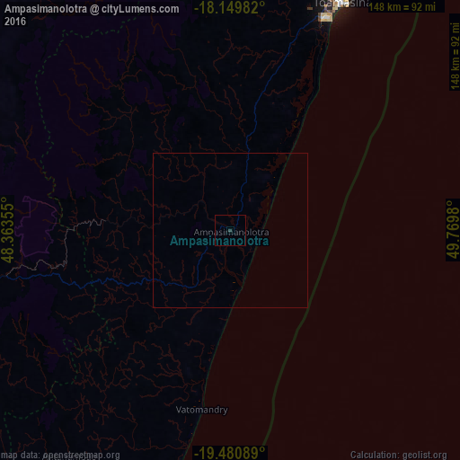

Analysis of Ampasimanolotra night lights 2016
Square area 10x10 km:
 0%
0%90-99
0%80-89
0%70-79
0%60-69
0%50-59
0%40-49
0%30-39
0.87%20-29
0%10-19
0%0-9
99.13%Square area 50x50 km:
0%90-99
0%80-89
0%70-79
0%60-69
0%50-59
0%40-49
0%30-39
0.03%20-29
0%10-19
0%0-9
99.97%Clear (daylight) street map image can be seen on geolist.org.
Map coordinates:
18° 8' 59.4" South, 48° 21' 48.8" East
18° 49' 0" South, 49° 4' 0" East
19° 28' 51.2" South, 49° 46' 11.3" East
Some cities around Ampasimanolotra sort by population:
• Toamasina
82.2 km =51.1 mi,  25°
25°
• Ambatondrazaka
129.1 km =80.2 mi,  327°
327°
• Mahanoro
123.7 km =76.9 mi,  193°
193°
• Moramanga
89.2 km =55.4 mi,  260°
260°
• Andovoranto
16 km =9.9 mi,  163°
163°
• Mantasoa
131.6 km =81.8 mi, 260°
• Merikanjaka
132.7 km =82.5 mi,  254°
254°
• Ambohitseheno
133.4 km =82.9 mi,  271°
271°
1078171 (p: 21,000)
Sources (retrieved 2019-11-25):
» Earth at Night: Flat Maps 2012, 2016