Ranohira night lights from space
Night Light of Ranohira (Ihorombe) from space (Madagascar) Src. Average luminocity for 10x10km area is 0% and for 50x50km: 0%.
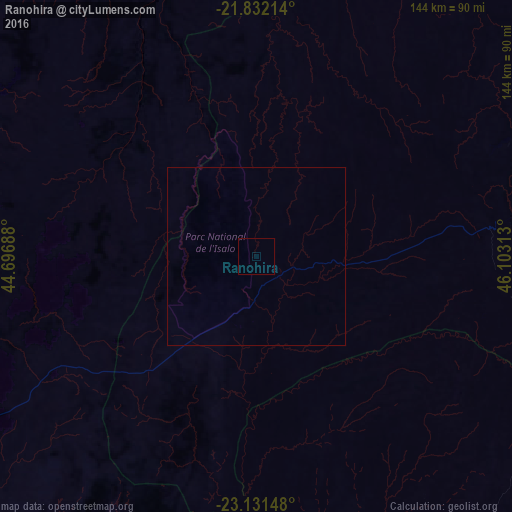
Analysis of Ranohira night lights 2016
Square area 10x10 km:
 0%
0%90-99
0%80-89
0%70-79
0%60-69
0%50-59
0%40-49
0%30-39
0%20-29
0%10-19
0%0-9
100%Square area 50x50 km:
0%90-99
0%80-89
0%70-79
0%60-69
0%50-59
0%40-49
0%30-39
0%20-29
0%10-19
0%0-9
100%Clear (daylight) street map image can be seen on geolist.org.
Map coordinates:
21° 49' 55.7" South, 44° 41' 48.8" East
22° 28' 60" South, 45° 24' 0" East
23° 7' 53.3" South, 46° 6' 11.3" East
Some cities around Ranohira sort by population:
• Betioky
172.6 km =107.2 mi,  217°
217°
• Ambalavao
173.7 km =107.9 mi,  65°
65°
• Ankazoabo
93.5 km =58.1 mi,  283°
283°
• Sakaraha
100.3 km =62.3 mi,  242°
242°
• Beroroha
93.9 km =58.3 mi,  345°
345°
• Ihosy
75.1 km =46.7 mi,  83°
83°
• Ikalamavony
192.1 km =119.4 mi,  39°
39°
• Behompy
180.2 km =112 mi, 241°
1057922 (p: 6,000)
Sources (retrieved 2019-11-25):
» Earth at Night: Flat Maps 2012, 2016