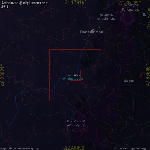
Ambalavao night lights from space
Night Light of Ambalavao (Upper Matsiatra) from space (Madagascar) Src. Average luminocity for 10x10km area is 0.506% and for 50x50km: 0.0205%.
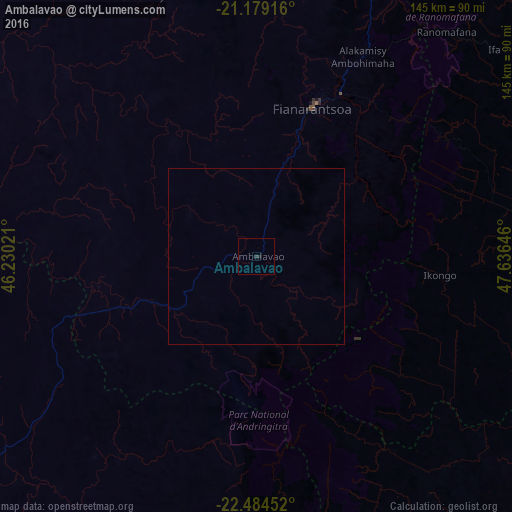
Analysis of Ambalavao night lights 2016
Square area 10x10 km:
 0%
0%90-99
0%80-89
0%70-79
0%60-69
0%50-59
0%40-49
0%30-39
0.4%20-29
1.19%10-19
0%0-9
98.41%Square area 50x50 km:
0%90-99
0%80-89
0%70-79
0%60-69
0%50-59
0%40-49
0%30-39
0.02%20-29
0.05%10-19
0%0-9
99.94%Clear (daylight) street map image can be seen on geolist.org.
Map coordinates:
21° 10' 45" South, 46° 13' 48.8" East
21° 49' 60" South, 46° 55' 60" East
22° 29' 4.3" South, 47° 38' 11.3" East
Some cities around Ambalavao sort by population:
• Fianarantsoa
45.2 km =28.1 mi,  20°
20°
• Ikongo
51.9 km =32.2 mi,  96°
96°
• Ifanadiana
93.6 km =58.2 mi,  50°
50°
• Amboanjo
96.4 km =59.9 mi, 101°
• Ikalamavony
84.2 km =52.3 mi,  334°
334°
• Fandrandava
48.1 km =29.9 mi,  42°
42°
• Manato
84.7 km =52.6 mi,  138°
138°
• Vohimanitra
80.5 km =50 mi,  79°
79°
1083968 (p: 28,027)
Sources (retrieved 2019-11-25):
» Earth at Night: Flat Maps 2012, 2016