Betioky night lights from space
Night Light of Betioky (Atsimo-Andrefana) from space (Madagascar) Src. Average luminocity for 10x10km area is 0% and for 50x50km: 0.0696%.
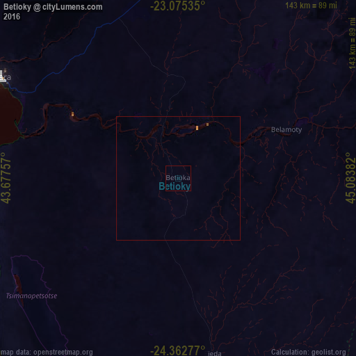
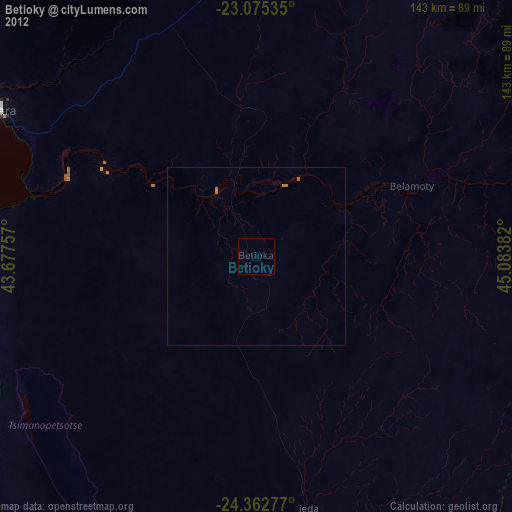
Analysis of Betioky night lights 2016
Square area 10x10 km:
 0%
0%90-99
0%80-89
0%70-79
0%60-69
0%50-59
0%40-49
0%30-39
0%20-29
0%10-19
0%0-9
100%Square area 50x50 km:
0%90-99
0%80-89
0%70-79
0.06%60-69
0%50-59
0%40-49
0.03%30-39
0%20-29
0%10-19
0%0-9
99.9%Clear (daylight) street map image can be seen on geolist.org.
Map coordinates:
23° 4' 31.3" South, 43° 40' 39.3" East
23° 43' 14.3" South, 44° 22' 50.5" East
24° 21' 46" South, 45° 5' 1.8" East
Some cities around Betioky sort by population:
• Toliara
83.6 km =51.9 mi,  299°
299°
• Ankazoabo
160.4 km =99.7 mi,  4°
4°
• Ampanihy
114.4 km =71.1 mi,  161°
161°
• Beloha
174.5 km =108.4 mi, 157°
• Sakaraha
92.6 km =57.5 mi,  9°
9°
• Beteza
110.3 km =68.5 mi,  137°
137°
• Behompy
75.3 km =46.8 mi,  314°
314°
• Ranohira
172.6 km =107.2 mi,  37°
37°
1066310 (p: 31,102)
Sources (retrieved 2019-11-25):
» Earth at Night: Flat Maps 2012, 2016