Ikalamavony night lights from space
Night Light of Ikalamavony (Upper Matsiatra) from space (Madagascar) Src. Average luminocity for 10x10km area is 0% and for 50x50km: 0%.
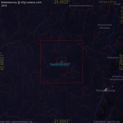
Analysis of Ikalamavony night lights 2016
Square area 10x10 km:
 0%
0%90-99
0%80-89
0%70-79
0%60-69
0%50-59
0%40-49
0%30-39
0%20-29
0%10-19
0%0-9
100%Square area 50x50 km:
0%90-99
0%80-89
0%70-79
0%60-69
0%50-59
0%40-49
0%30-39
0%20-29
0%10-19
0%0-9
100%Clear (daylight) street map image can be seen on geolist.org.
Map coordinates:
20° 29' 34.1" South, 45° 52' 48.8" East
21° 9' 0" South, 46° 34' 60" East
21° 48' 15.5" South, 47° 17' 11.3" East
Some cities around Ikalamavony sort by population:
• Fianarantsoa
62 km =38.5 mi,  122°
122°
• Ikongo
119.9 km =74.5 mi,  132°
132°
• Ambositra
97.2 km =60.4 mi,  44°
44°
• Ambalavao
84.2 km =52.3 mi,  154°
154°
• Ambatofinandrahana
70.2 km =43.6 mi,  19°
19°
• Ifanadiana
110.1 km =68.4 mi,  98°
98°
• Fandrandava
80.2 km =49.8 mi, 120°
• Vohimanitra
130.8 km =81.3 mi, 117°
1064258 (p: 15,601)
Sources (retrieved 2019-11-25):
» Earth at Night: Flat Maps 2012, 2016