Ihosy night lights from space
Night Light of Ihosy (Ihorombe) from space (Madagascar) Src. Average luminocity for 10x10km area is 0.5379% and for 50x50km: 0.0227%.
Analysis of Ihosy night lights 2016
Square area 10x10 km:
 0%
0%90-99
0%80-89
0%70-79
0%60-69
0%50-59
0%40-49
0%30-39
0.38%20-29
1.14%10-19
0%0-9
98.48%Square area 50x50 km:
0%90-99
0%80-89
0%70-79
0%60-69
0%50-59
0%40-49
0%30-39
0.02%20-29
0.05%10-19
0%0-9
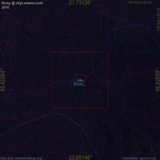
99.94%Clear (daylight) street map image can be seen on geolist.org.
Map coordinates:
21° 45' 4.9" South, 45° 25' 21.5" East
22° 24' 10.5" South, 46° 7' 32.7" East
23° 3' 5.3" South, 46° 49' 44" East
Some cities around Ihosy sort by population:
• Fianarantsoa
144.8 km =90 mi,  43°
43°
• Ikongo
146.5 km =91 mi,  66°
66°
• Ambalavao
104.6 km =65 mi,  52°
52°
• Vondrozo
127.4 km =79.2 mi,  111°
111°
• Beroroha
128.3 km =79.7 mi,  309°
309°
• Ikalamavony
147.1 km =91.4 mi,  18°
18°
• Manato
139.6 km =86.7 mi,  89°
89°
• Ranohira
75.1 km =46.7 mi,  263°
263°
1064275 (p: 16,990)
Sources (retrieved 2019-11-25):
» Earth at Night: Flat Maps 2012, 2016