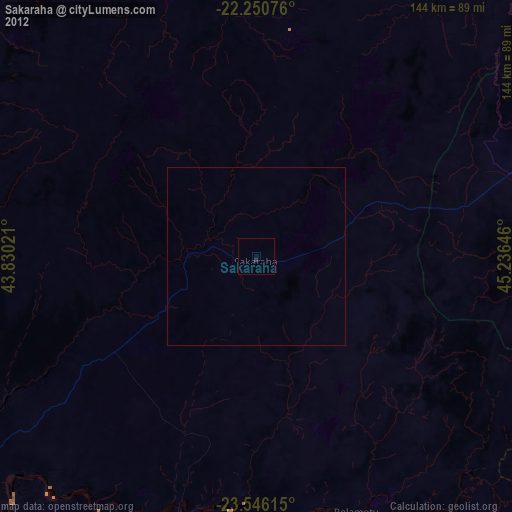
Sakaraha night lights from space
Night Light of Sakaraha (Atsimo-Andrefana) from space (Madagascar) Src. Average luminocity for 10x10km area is 0.1627% and for 50x50km: 0.0065%.
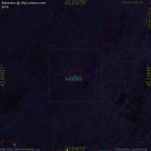
Analysis of Sakaraha night lights 2016
Square area 10x10 km:
 0%
0%90-99
0%80-89
0%70-79
0%60-69
0%50-59
0%40-49
0%30-39
0%20-29
0%10-19
0.79%0-9
99.21%Square area 50x50 km:
0%90-99
0%80-89
0%70-79
0%60-69
0%50-59
0%40-49
0%30-39
0%20-29
0%10-19
0.03%0-9
99.97%Clear (daylight) street map image can be seen on geolist.org.
Map coordinates:
22° 15' 2.7" South, 43° 49' 48.8" East
22° 54' 0" South, 44° 31' 60" East
23° 32' 46.1" South, 45° 14' 11.3" East
Some cities around Sakaraha sort by population:
• Toliara
101.8 km =63.3 mi,  240°
240°
• Betioky
92.6 km =57.5 mi,  189°
189°
• Ankazoabo
68.6 km =42.6 mi,  358°
358°
• Beroroha
151.8 km =94.3 mi,  25°
25°
• Ihosy
172.5 km =107.2 mi,  71°
71°
• Beteza
182.3 km =113.3 mi,  160°
160°
• Behompy
80 km =49.7 mi, 240°
• Ranohira
100.3 km =62.3 mi,  62°
62°
1057095 (p: 21,826)
Sources (retrieved 2019-11-25):
» Earth at Night: Flat Maps 2012, 2016