Beroroha night lights from space
Night Light of Beroroha (Atsimo-Andrefana) from space (Madagascar) Src. Average luminocity for 10x10km area is 0% and for 50x50km: 0.0638%.
Analysis of Beroroha night lights 2016
Square area 10x10 km:
 0%
0%90-99
0%80-89
0%70-79
0%60-69
0%50-59
0%40-49
0%30-39
0%20-29
0%10-19
0%0-9
100%Square area 50x50 km:
0%90-99
0%80-89
0%70-79
0.02%60-69
0.05%50-59
0.02%40-49
0.02%30-39
0%20-29
0%10-19
0%0-9
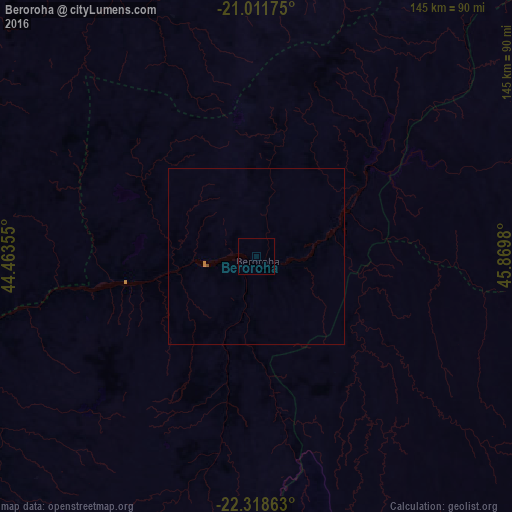
99.9%Clear (daylight) street map image can be seen on geolist.org.
Map coordinates:
21° 0' 42.3" South, 44° 27' 48.8" East
21° 40' 0" South, 45° 10' 0" East
22° 19' 7.1" South, 45° 52' 11.3" East
Some cities around Beroroha sort by population:
• Fianarantsoa
199.9 km =124.2 mi,  83°
83°
• Morondava
176.8 km =109.9 mi,  330°
330°
• Ambalavao
183.4 km =114 mi,  95°
95°
• Ankazoabo
95.9 km =59.6 mi,  224°
224°
• Sakaraha
151.8 km =94.3 mi,  205°
205°
• Ihosy
128.3 km =79.7 mi,  129°
129°
• Ikalamavony
157.5 km =97.9 mi,  68°
68°
• Ranohira
93.9 km =58.3 mi,  165°
165°
1066831 (p: 18,632)
Sources (retrieved 2019-11-25):
» Earth at Night: Flat Maps 2012, 2016