Mananara night lights from space
Night Light of Mananara (Analanjirofo) from space (Madagascar) Src. Average luminocity for 10x10km area is 0.3079% and for 50x50km: 0.0123%.

Analysis of Mananara night lights 2016
Square area 10x10 km:
 0%
0%90-99
0%80-89
0%70-79
0%60-69
0%50-59
0%40-49
0%30-39
0%20-29
0.83%10-19
0%0-9
99.17%Square area 50x50 km:
0%90-99
0%80-89
0%70-79
0%60-69
0%50-59
0%40-49
0%30-39
0%20-29
0.03%10-19
0%0-9
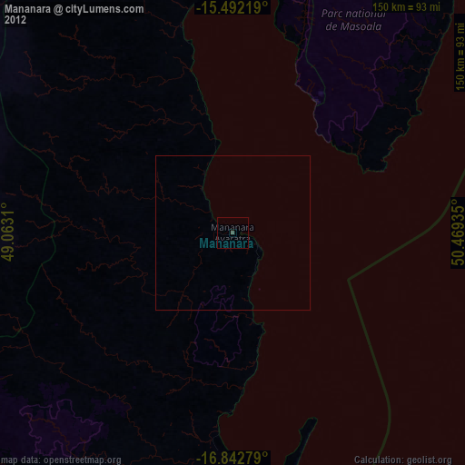
99.97%Clear (daylight) street map image can be seen on geolist.org.
Map coordinates:
15° 29' 31.9" South, 49° 3' 47.2" East
16° 10' 7.1" South, 49° 45' 58.4" East
16° 50' 34" South, 50° 28' 9.7" East
Some cities around Mananara sort by population:
• Soanierana Ivongo
85.4 km =53.1 mi,  193°
193°
• Antalaha
151.3 km =94 mi,  21°
21°
• Vohibinany
152.8 km =94.9 mi,  210°
210°
• Maroantsetra
81.6 km =50.7 mi,  357°
357°
• Fenoarivo Atsinanana
140.1 km =87.1 mi,  195°
195°
• Antsirabe Afovoany
88.8 km =55.2 mi,  285°
285°
• Ambodifotatra
91 km =56.5 mi,  174°
174°
• Antakotako
94.8 km =58.9 mi,  2°
2°
1061412 (p: 41,209)
Sources (retrieved 2019-11-25):
» Earth at Night: Flat Maps 2012, 2016