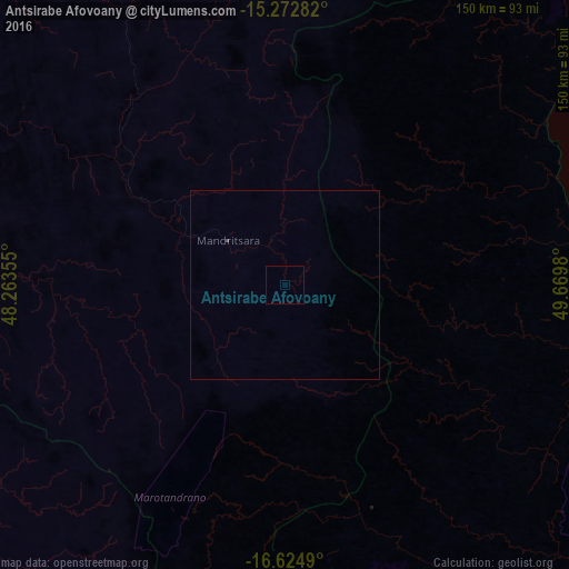
Antsirabe Afovoany night lights from space
Night Light of Antsirabe Afovoany (Sofia) from space (Madagascar) Src. Average luminocity for 10x10km area is 0% and for 50x50km: 0.0148%.
Analysis of Antsirabe Afovoany night lights 2016
Square area 10x10 km:
 0%
0%90-99
0%80-89
0%70-79
0%60-69
0%50-59
0%40-49
0%30-39
0%20-29
0%10-19
0%0-9
100%Square area 50x50 km:
0%90-99
0%80-89
0%70-79
0%60-69
0%50-59
0%40-49
0.03%30-39
0%20-29
0%10-19
0%0-9
99.97%Clear (daylight) street map image can be seen on geolist.org.
Map coordinates:
15° 16' 22.2" South, 48° 15' 48.8" East
15° 57' 0" South, 48° 58' 0" East
16° 37' 29.6" South, 49° 40' 11.3" East
Some cities around Antsirabe Afovoany sort by population:
• Mananara
88.8 km =55.2 mi,  105°
105°
• Soanierana Ivongo
126 km =78.3 mi,  148°
148°
• Vohibinany
155.8 km =96.8 mi,  177°
177°
• Maroantsetra
100.5 km =62.4 mi,  55°
55°
• Andilamena
125.1 km =77.7 mi,  199°
199°
• Ambodifotatra
148.6 km =92.3 mi,  140°
140°
• Antakotako
113.7 km =70.6 mi,  51°
51°
• Bemaitso
133.8 km =83.1 mi, 201°
1069164 (p: 13,000)
Sources (retrieved 2019-11-25):
» Earth at Night: Flat Maps 2012, 2016