Antakotako night lights from space
Night Light of Antakotako (Analanjirofo) from space (Madagascar) Src. Average luminocity for 10x10km area is 0% and for 50x50km: 0.0276%.
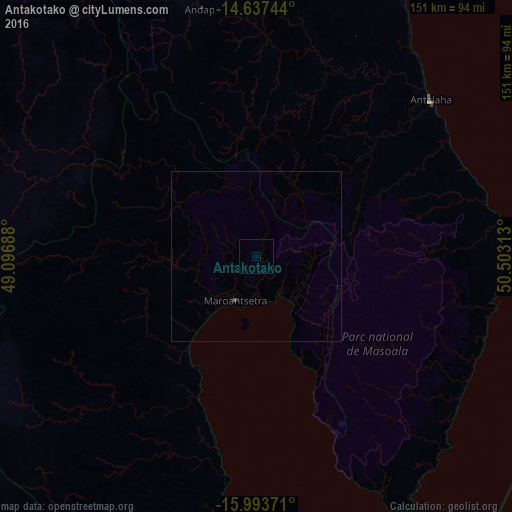
Analysis of Antakotako night lights 2016
Square area 10x10 km:
 0%
0%90-99
0%80-89
0%70-79
0%60-69
0%50-59
0%40-49
0%30-39
0%20-29
0%10-19
0%0-9
100%Square area 50x50 km:
0%90-99
0%80-89
0%70-79
0%60-69
0%50-59
0.02%40-49
0.01%30-39
0%20-29
0%10-19
0.03%0-9
99.93%Clear (daylight) street map image can be seen on geolist.org.
Map coordinates:
14° 38' 14.8" South, 49° 5' 48.8" East
15° 19' 0" South, 49° 48' 0" East
15° 59' 37.4" South, 50° 30' 11.3" East
Some cities around Antakotako sort by population:
• Mananara
94.8 km =58.9 mi,  182°
182°
• Antalaha
69.2 km =43 mi,  47°
47°
• Sambava
123.2 km =76.6 mi,  18°
18°
• Ampahana
77.3 km =48 mi,  35°
35°
• Maroantsetra
14.8 km =9.2 mi,  206°
206°
• Andapa
75.9 km =47.2 mi,  347°
347°
• Antsirabe Afovoany
113.7 km =70.6 mi,  231°
231°
• Ambodivoara
111.1 km =69 mi,  10°
10°
1071299 (p: 11,000)
Sources (retrieved 2019-11-25):
» Earth at Night: Flat Maps 2012, 2016