Maroantsetra night lights from space
Night Light of Maroantsetra (Analanjirofo) from space (Madagascar) Src. Average luminocity for 10x10km area is 0.7229% and for 50x50km: 0.0279%.

Analysis of Maroantsetra night lights 2016
Square area 10x10 km:
 0%
0%90-99
0%80-89
0%70-79
0%60-69
0%50-59
0.65%40-49
0.22%30-39
0%20-29
0%10-19
0.87%0-9
98.27%Square area 50x50 km:
0%90-99
0%80-89
0%70-79
0%60-69
0%50-59
0.03%40-49
0.01%30-39
0%20-29
0%10-19
0.03%0-9
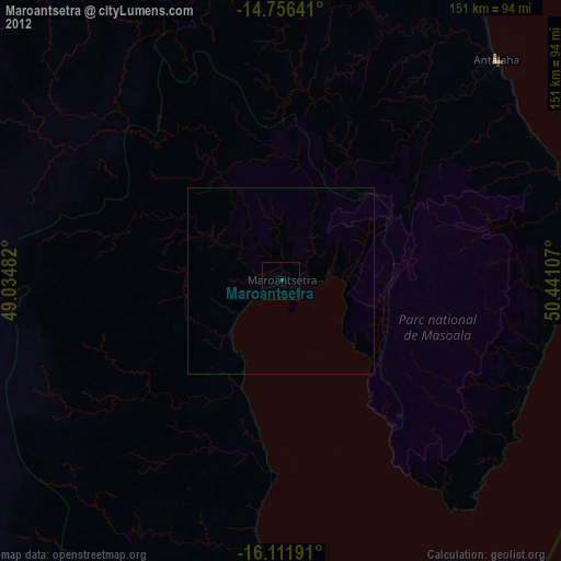
99.93%Clear (daylight) street map image can be seen on geolist.org.
Map coordinates:
14° 45' 23.1" South, 49° 2' 5.4" East
15° 26' 7" South, 49° 44' 16.6" East
16° 6' 42.9" South, 50° 26' 27.9" East
Some cities around Maroantsetra sort by population:
• Mananara
81.6 km =50.7 mi,  177°
177°
• Antalaha
83.1 km =51.6 mi,  44°
44°
• Sambava
137.9 km =85.7 mi,  19°
19°
• Ampahana
91.9 km =57.1 mi,  33°
33°
• Andapa
87.8 km =54.6 mi,  353°
353°
• Antsirabe Afovoany
100.5 km =62.4 mi,  235°
235°
• Antakotako
14.8 km =9.2 mi, 26°
• Ambodivoara
125.3 km =77.9 mi,  12°
12°
1060283 (p: 23,859)
Sources (retrieved 2019-11-25):
» Earth at Night: Flat Maps 2012, 2016