Antalaha night lights from space
Night Light of Antalaha (Sava) from space (Madagascar) Src. Average luminocity for 10x10km area is 2.3595% and for 50x50km: 0.0944%.
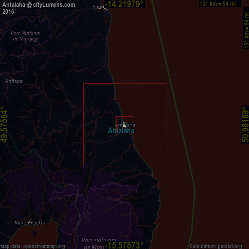
Analysis of Antalaha night lights 2016
Square area 10x10 km:
 0%
0%90-99
0%80-89
0%70-79
0.83%60-69
0.83%50-59
0.62%40-49
1.24%30-39
0.62%20-29
0%10-19
0%0-9
95.87%Square area 50x50 km:
0%90-99
0%80-89
0%70-79
0.03%60-69
0.03%50-59
0.02%40-49
0.05%30-39
0.02%20-29
0%10-19
0%0-9
99.83%Clear (daylight) street map image can be seen on geolist.org.
Map coordinates:
14° 13' 11.2" South, 49° 34' 32.3" East
14° 54' 1.2" South, 50° 16' 43.5" East
15° 34' 43.4" South, 50° 58' 54.8" East
Some cities around Antalaha sort by population:
• Mananara
151.3 km =94 mi,  201°
201°
• Sambava
71.5 km =44.4 mi,  350°
350°
• Ampahana
18 km =11.2 mi,  338°
338°
• Maroantsetra
83.1 km =51.6 mi,  224°
224°
• Andapa
73.1 km =45.4 mi,  292°
292°
• Bealanana
169.1 km =105.1 mi,  283°
283°
• Antakotako
69.2 km =43 mi,  227°
227°
• Ambodivoara
70.6 km =43.9 mi,  333°
333°
1071296 (p: 34,112)
Sources (retrieved 2019-11-25):
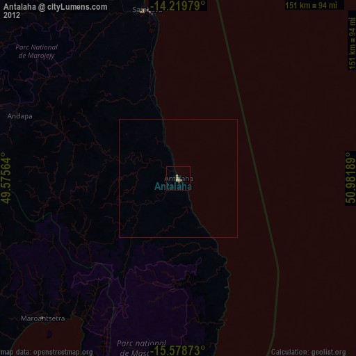
» Earth at Night: Flat Maps 2012, 2016