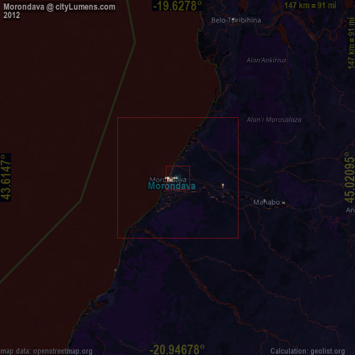
Morondava night lights from space
Night Light of Morondava (Menabe) from space (Madagascar) Src. Average luminocity for 10x10km area is 3.748% and for 50x50km: 0.1532%.
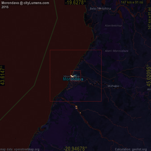
Analysis of Morondava night lights 2016
Square area 10x10 km:
 0%
0%90-99
0.2%80-89
1.39%70-79
0.79%60-69
0%50-59
0.6%40-49
0.99%30-39
0.99%20-29
0.99%10-19
0.4%0-9
93.65%Square area 50x50 km:
0%90-99
0.01%80-89
0.06%70-79
0.03%60-69
0%50-59
0.02%40-49
0.04%30-39
0.04%20-29
0.04%10-19
0.02%0-9
99.75%Clear (daylight) street map image can be seen on geolist.org.
Map coordinates:
19° 37' 40.1" South, 43° 36' 52.9" East
20° 17' 19.3" South, 44° 19' 4.2" East
20° 56' 48.4" South, 45° 1' 15.4" East
Some cities around Morondava sort by population:
• Tsiroanomandidy
247.7 km =153.9 mi,  47°
47°
• Ambatofinandrahana
260.7 km =162 mi,  96°
96°
• Ankazoabo
222.7 km =138.4 mi,  174°
174°
• Belo sur Tsiribihina
69.9 km =43.4 mi,  19°
19°
• Miandrivazo
145.9 km =90.7 mi, 54°
• Beroroha
176.8 km =109.9 mi,  150°
150°
• Maintirano
249.3 km =154.9 mi,  353°
353°
• Ikalamavony
254.3 km =158 mi,  112°
112°
1058381 (p: 36,803)
Sources (retrieved 2019-11-25):
» Earth at Night: Flat Maps 2012, 2016